Warming back up for the weekend

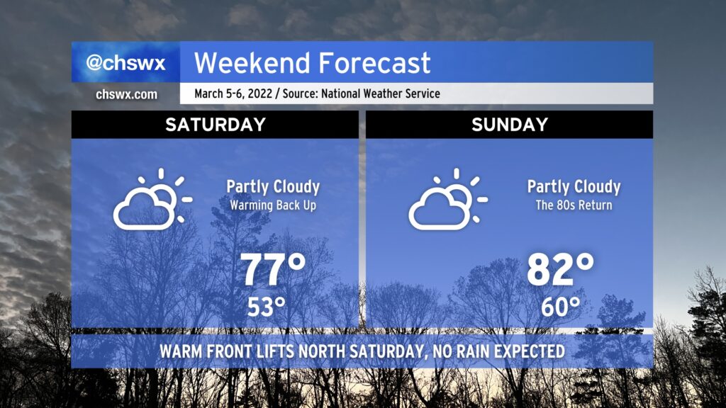
After a brief interlude on Friday thanks to a cool wedge of high pressure building into the area, warmth and sunshine returns Saturday as the front lifts back northward as a warm front. Like the cold frontal passage last night, we’ll remain rain-free as the warm front lifts northward.
With the wedge airmass out of here, temperatures jump back to the mid-to-upper 70s by Saturday afternoon, and we’ll warm even further toward the low 80s on Sunday. The record high for March 6 is 85°, and we might get within spitting distance depending on how much heating can develop.
Warm weather will continue into Monday with near-record highs possible again. Beyond that, things take a turn for the unsettled for much of the next work week with temperatures running a little cooler (but still above normal).
For now, though, enjoy your weekend!