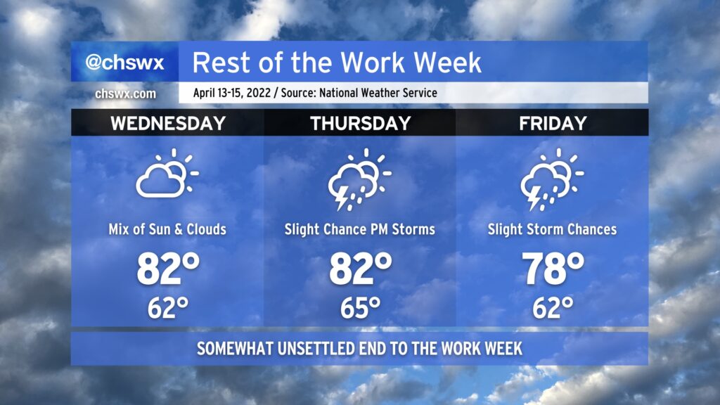
Rest of the work week: Still warm, turning unsettled

Warmer-than-normal conditions continue this week despite a weak front poking into the area on Friday. Temperatures will generally run in the low 80s Wednesday and Thursday, with slightly cooler and drier air on Friday behind the front.
Said front will usher in some shower and storm chances starting Thursday afternoon. The best chances of showers and storms will arrive overnight Thursday into Friday with the frontal passage. The front will stall out nearby on Friday, perhaps keeping a shower or storm chance in play across the Charleston metro during the day.
The severe weather threat looks very low and, at least as of right now, should stay generally west of I-95. Will keep an eye on it, but the ingredients look incredibly marginal. (I don’t think anyone’s complaining about this, either.) With the area remaining in drought even after last week’s rains, we’ll take what we can get — bonus points if it arrives without severe weather.
Peeking ahead toward the weekend, unsettled weather does continue to appear probable, but the models are disagreeing quite a bit on the details still. Temperatures should remain on the warm side of normal, though, through the weekend. Stay tuned as the forecast becomes more fine-tuned.