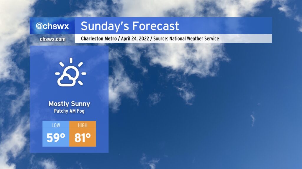
Sunday: Another mostly sunny and warm day

We have another warm — and even slightly muggy — day ahead of weather as temperatures head back into the low 80s once again. Onshore flow will help keep dewpoints somewhat elevated, putting a touch of muggy into the air, but it’s nothing terribly out of the ordinary for this point in the year. We may contend with some patches of fog in the morning, but these should mix out shortly after sunrise.
One potential fly in the ointment to this forecast is something we saw this morning and could repeat itself tomorrow: the risk for a very isolated shower. The convection-allowing models have a few areas of low-end reflectivity coming ashore between 8am-12pm. This is likely the model depicting a somewhat more agitated cumulus field within an area of low-level convergence on the periphery of the surface high. However, I bring it up because this morning’s cumulus field did, in fact, toss some raindrops on me as I was doing my morning walk. So, we’ll see. All that said, though, if you see a raindrop or two tomorrow, don’t be totally surprised, then go buy a lottery ticket. It might be your lucky day.
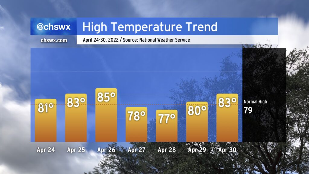
Looking ahead: Temperatures warm above normal to start the work week

Temperatures will continue to run a few degrees above normal through Tuesday, which could end up being one of the warmer days we’ve had so far in 2022. A cold front comes through later Tuesday, knocking temperatures behind it back down a tick or two below normal for Wednesday and Thursday before rebounding back into the 80s to close out the work week. Aside from Tuesday evening, much of next week looks to remain rain-free — certainly closing April much more quietly than it entered.