Friday & the weekend: More showers & storms, but no washout
The pattern looks to stay generally unsettled heading into the last weekend of August, though some subtle changes will help reduce coverage at least a little on Saturday and Sunday.
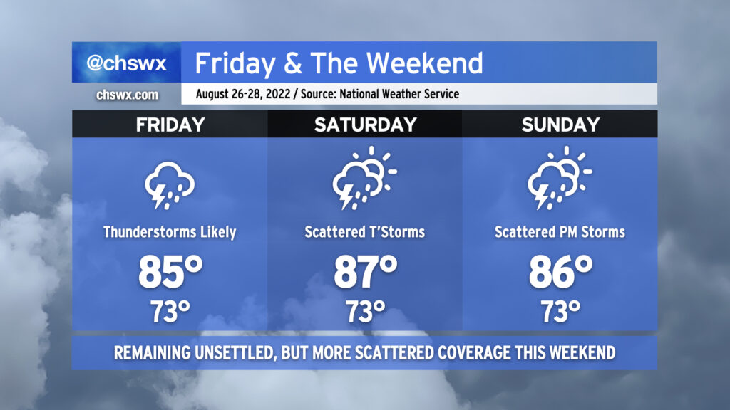
Showers and thunderstorms remain likely particularly Friday afternoon and evening as a front remains stalled just offshore and energy aloft pivots into the area. We continue the risk for heavy rain with precipitable water values well in excess of 2″ expected to persist — plenty of moisture for deep convection to wring out. Watch for ponding of water on roads or even isolated bouts of flooding.
Slightly drier air will then poke in from the north on Saturday into Sunday. This should have the effect of scattering out shower coverage a little bit more, particularly on Saturday. However, the area won’t totally get off scot-free when it comes to rain this weekend, so be sure your outdoor plans have an indoor backup just in case.
Temperatures will remain a few clicks below normal for late August as cloud cover and rainfall stick around. Generally, we should expect lows in the low 70s each morning (running a little warmer near the coast thanks to warm sea-surface temperatures) followed by highs in the mid-80s in the afternoons.