Weekend forecast: Still warm, turning unsettled
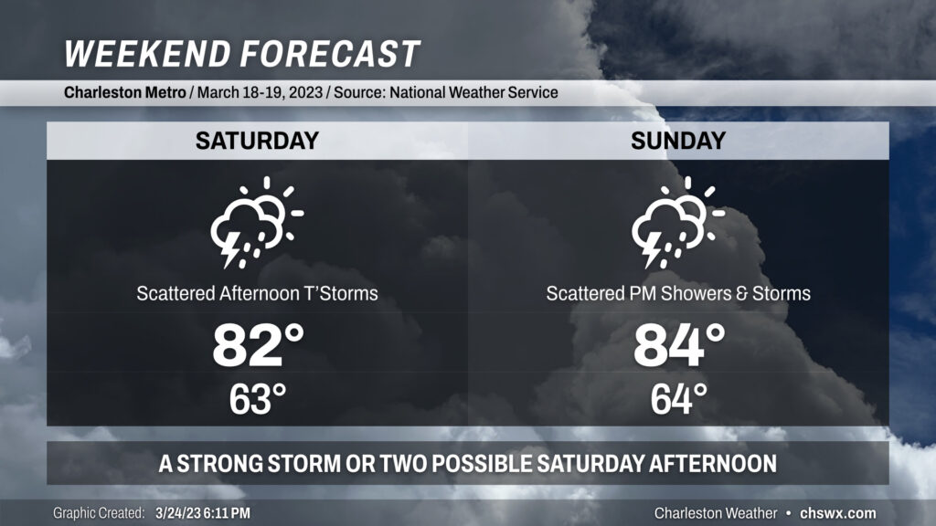
We stay warm this weekend despite a weak front that’ll move in Saturday and stall out across the area. Highs each afternoon will peak in the low to mid-80s, with lows solidly in the low-to-mid-60s.
The aforementioned front will be the focal point for increasingly unsettled weather. As the front approaches Saturday, scattered showers and thunderstorms — a couple of which may be on the strong side — will be possible primarily in the afternoon through early evening. Outside of thunderstorms, winds will be gusty at times, with gusts approaching 30 MPH especially on higher bridges.
Sunday starts on a dry note, but as the afternoon progresses, the lingering front will act as a focal point for developing additional showers and maybe a few thunderstorms. Rain chances will last well into Monday and Tuesday before the front is shoved out of here by high pressure. Still, expect highs to climb into the mid-80s.
Bottom line for this weekend: No total washout expected, but you’ll want to keep an eye to the sky if you’re outdoors.
Follow my Charleston Weather updates on Mastodon, Bluesky, Instagram, Facebook, or directly in a feed reader. Do you like what you see here? Please consider supporting my independent, hype-averse weather journalism and become a supporter on Patreon for a broader look at all things #chswx!