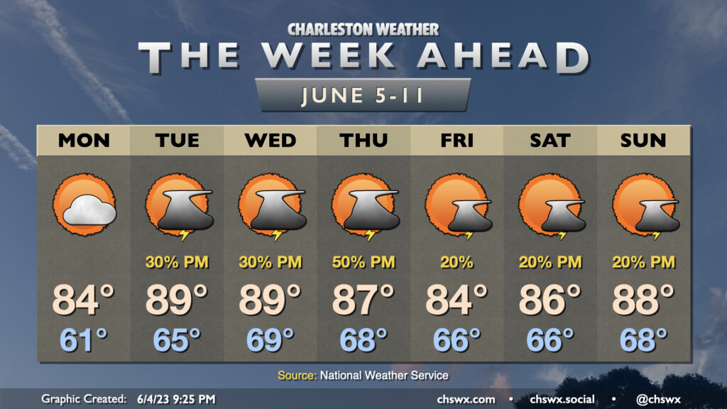
Rest of the work week: Storms likely Wednesday, then quieting down a little (and warming up)

After a brief reprieve Tuesday, storms look to return to the forecast on Wednesday as more upper-level energy moves across the area. We start the day in the low 70s before highs top out in the upper 80s in the afternoon under a mix of sun and clouds before showers and storms become more likely heading into the evening hours.
Severe weather outlook for Wednesday

The risk for strong to severe thunderstorms returns to the forecast for Wednesday afternoon and evening as more upper-level energy moves by and instigates another thunderstorm complex that’ll make a run at the coast. The best risk for severe storms appears to be further southwest once again where dewpoints are a little bit higher, but there will be a risk for severe weather across the entire Tri-County area with damaging wind gusts and large hail the main concerns. Keep an eye out for forecast updates and possible warnings Wednesday afternoon and evening.
Storm chances continue Thursday, but tapers some Friday as temperatures return to the 90s
We keep showers and storms in the forecast for Thursday on what will be another seasonably warm day across the Tri-County. We start Thursday around 70° and warm to near 90° in the afternoon. Mix in dewpoints in the upper 60s and it’ll feel closer to 90-91°. Then, another round of showers and thunderstorms is expected to develop, moving from west to east once again. Right now the severe threat is looking a little lower for Thursday, but heavy rain and lightning will continue to be concerns.
We’ll see a downtick in thunderstorm chances on Friday with just the standard isolated thunderstorm chance in the afternoon after a day in which high temperatures should top out in the low 90s. Highs in the 90s will be a theme heading into Father’s Day and Juneteenth weekend, too, with isolated to scattered storms each afternoon.
Follow my Charleston Weather updates on Mastodon, Bluesky, Instagram, Facebook, or directly in a feed reader. Do you like what you see here? Please consider supporting my independent, hype-averse weather journalism and become a supporter on Patreon for a broader look at all things #chswx!