Weekend forecast: Big cooldown with showers
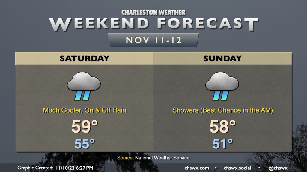
Remember rain? It will be back starting Saturday, along with quite the cooldown in the wake of a cold front that gets through late Friday night. We start Saturday in the mid-50s, but cloud cover and rainfall will keep temperatures from warming all that much — in other words, unless you’re closer to the coast, it’s pretty unlikely you’ll sniff out 60°. Rain continues heading overnight Saturday into Sunday as moisture lifting across the wedge along with a disturbance keeps rainfall in the forecast through at least Sunday morning. We should start to see precipitation taper off heading into Sunday afternoon, though we stay chilly with highs once again expected to stay suppressed to the upper 50s. (Naturally, sun starts to break through Monday, and temperatures begin to warm from there.)
We will need to watch Sunday morning’s high tide (6:50am) for the potential for some coastal flooding as the northeasterly winds help drive water level departures higher. Expect generally minor coastal flooding, though it may yet be high enough to close a few roads for a time. We could see similar flooding Monday morning as well. Stay tuned for Coastal Flood Advisories from the National Weather Service.