Weekend forecast: Cool, with showers returning late Sunday
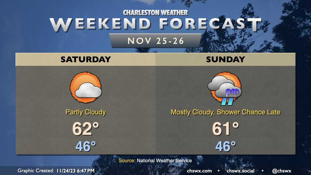
We’ll stay chilly over the weekend as high pressure wedges south into the area, keeping north and northeast winds in place throughout. Temperatures Saturday generally start in the mid-40s before warming to just the low 60s in the afternoon under partly cloudy skies, with clouds increasing as we get later in the day as another disturbance starts to draw closer. Increased cloud cover with the wedge hanging on tight will keep temperatures from getting too far above 60° in the afternoon on Sunday. We should get the daylight hours in rain-free, with showers on the increase as the aforementioned disturbance and associated surface low pass by overnight into early Monday.
The main weather concern will be the risk for coastal flooding early each morning this weekend thanks to the upcoming full moon and northeasterly winds, which are very favorable for piling up water in our neck of the woods. The water level forecast has increased for Charleston Harbor Saturday morning, and we now could look at 7.3-7.5′ with high tide around 6am, capable of closing some roads. Expect a repeat around Sunday morning’s 6:46am high tide as northeasterly winds persist, with water levels likely high enough to produce moderate coastal flooding (7.5-7.7′). Stay tuned for possible Coastal Flood Advisories from the National Weather Service.