Thursday: One more round of morning frost and freeze
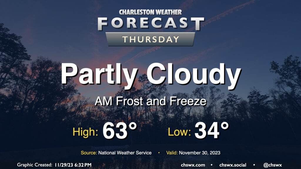
Keep those plants covered or indoors: Frost and freeze conditions will return Wednesday night into Thursday morning as cool high pressure remains in place for one more day. Lows will bottom out in the low to mid-30s in much of the metro, with the warmer temperatures near the water. We could even see some 20s further inland and in more rural locations as well. Make sure your pets have a safe place to be tonight!
Temperatures on Thursday will warm to the low-to-mid-60s in the afternoon under partly cloudy skies, perhaps running a few degrees warmer than Wednesday’s highs, but still on the cool side of normal for late November.
Friday & the weekend: 70s return…and so does the rain
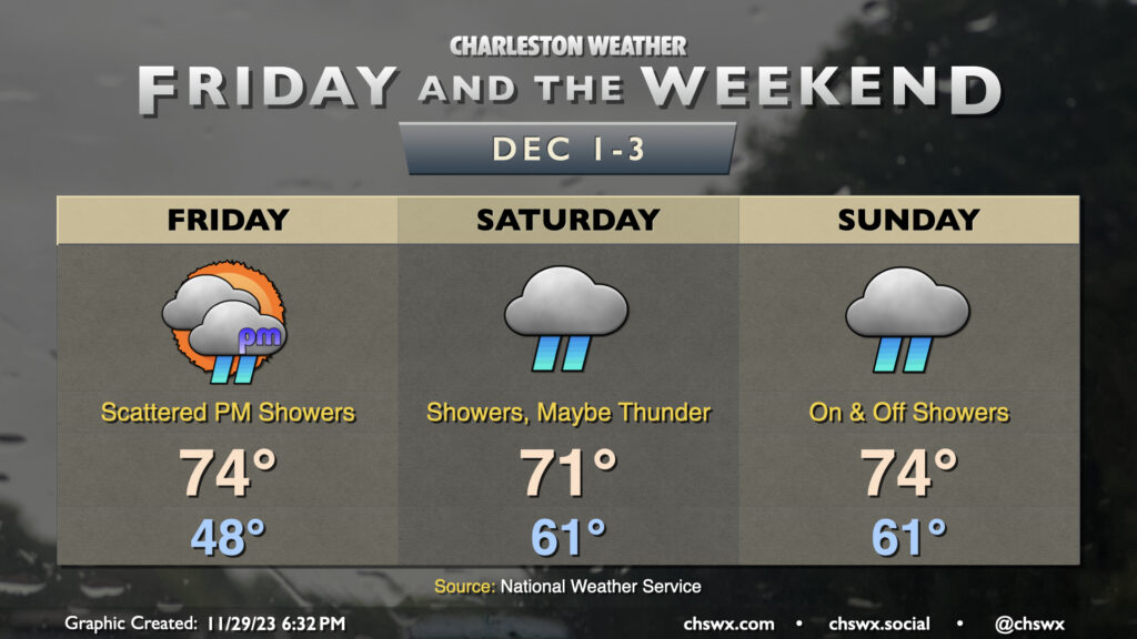
As we get into Friday, high pressure will be slipping offshore ahead of a front that looks to slow down big-time, keeping us in a warm and unsettled pattern for the weekend. (Because of course.) Temperatures on Friday start in the mid-to-upper 40s — a far cry from the frosty conditions of the past few days — and warm to the mid-70s. Shower chances, unfortunately, come along for the ride, and increase as we head into Friday afternoon and evening. 70s — and showers — look to stick around for the weekend as well. A few rumbles of thunder are even possible at times on Saturday. It won’t rain all day in any one location, but showers will be on and off throughout the day, making it tough to interweave some outdoor time. Stay tuned to forecast updates as timing for rain continues to be fine-tuned.
Follow my Charleston Weather updates on Mastodon, Bluesky, Instagram, Facebook, or directly in a feed reader. Do you like what you see here? Please consider supporting my independent, hype-averse weather journalism and become a supporter on Patreon for a broader look at all things #chswx!