Christmas Eve: Warmer than normal, rain holds off until Christmas Day

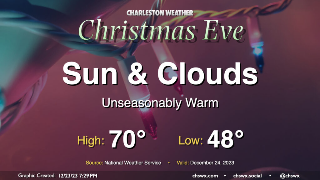
We have one more quiet day of weather ahead for Christmas Eve before a storm system starts to affect the area on Christmas Day. It’ll be an unseasonably warm Christmas Eve, that’s for sure: We start the day in the upper 40s to around 50° before warming to around 70° in the afternoon. The normal high for December 24 is 61°, while the low is typically closer to 41°. No records will be threatened, though: the record high of 80° set in 2015 remains safe.
The sky will generally feature a mix of sun and clouds. There is a small possibility a few showers could try to sneak onshore, so if you’re out at the coast or very nearby, don’t be surprised to get a light shower or two as a coastal trough develops. However, much of us will remain rain-free throughout the day and overnight, so there are no significant concerns for a certain sleigh aviator as he makes his rounds in our neck of the woods.
Christmas Day: Showers arrive by afternoon

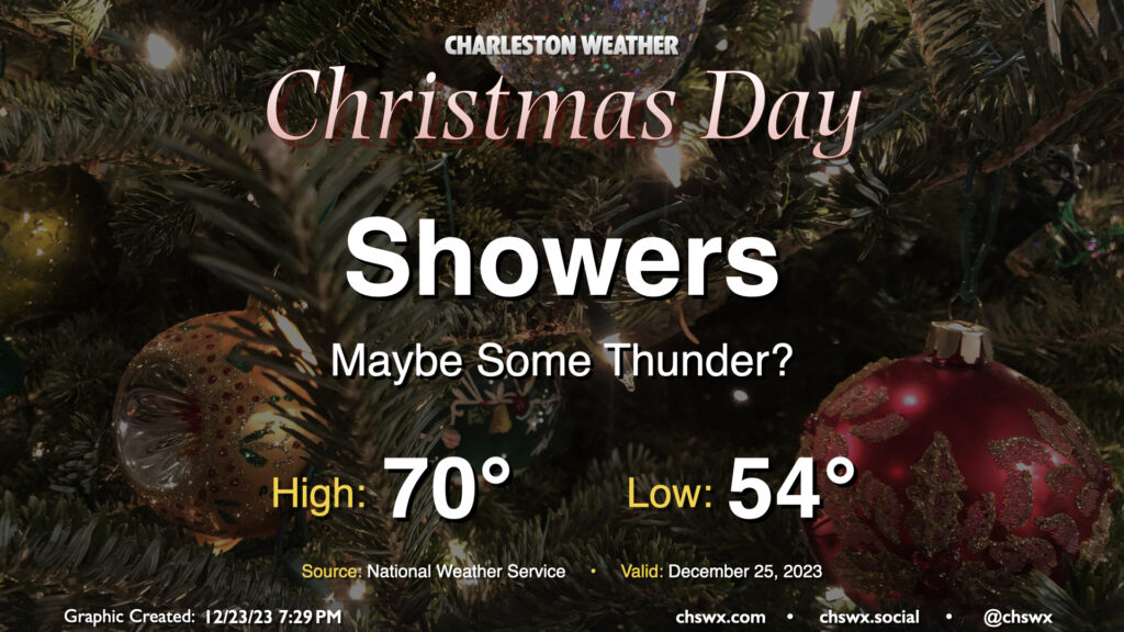
Showers will be increasing throughout the day on Christmas as a warm front lifts north of the area. Some rain could turn heavy at times, especially as we get into the afternoon and evening, but flooding shouldn’t be a concern. We could hear some thunder, though, as some instability looks to work ashore. No severe weather is expected. Temperatures will once again run well above Christmas normals, with lows in the mid-50s yielding to highs around 70° in the afternoon.
There may be a risk for minor coastal flooding with the Christmas morning high tide (peaking roughly around 6:30am), but it should clear the area before the rain moves in, so no major concerns there, but if departures peak over 7′, we could be dealing with some salt water on a few vulnerable roads downtown.
Rain will hang around overnight into Tuesday before starting to scatter a bit ahead of the storm system’s cold front. A wave of low pressure looks to develop along that front and keep showers in the area into Tuesday night before finally clearing the area by Wednesday. From there, we turn cooler than normal as we close out 2023.
Follow my Charleston Weather updates on Mastodon, Bluesky, Instagram, Facebook, or directly in a feed reader. Do you like what you see here? Please consider supporting my independent, hype-averse weather journalism and become a supporter on Patreon for a broader look at all things #chswx!