Rest of the work week: Stormy Wednesday, then cooling off
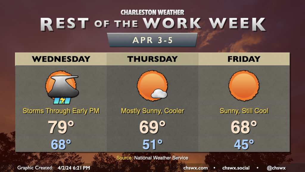
This stretch of warmer-than-normal temperatures comes to an end on Wednesday as a cold front moves through the area. Showers and thunderstorms will be ongoing ahead of the front, and there will be a risk for a few of those storms to be on the strong to severe side. Damaging wind gusts will be the main concern, but a tornado or two can’t be totally ruled out as the line pushes eastward. If storms take a little longer to get here, that could increase the severe weather threat as well. I’d be prepared for a somewhat stormy morning commute. The good news is that the front should clear the area by evening, sweeping showers and storms offshore and allowing cooler and drier air to work into the area. Windy conditions will be expected so be careful on the bridges.
From there, temperatures run several degrees below normal for the next few days, including Bridge Run weekend. Thursday will be a much sunnier day than Wednesday, but will run almost 10° cooler in the wake of the front. Expect highs to top out in the upper 60s to around 70° in the afternoon. Friday will start even cooler, with lows in the mid-40s yielding to highs in the upper 60s once again under mostly sunny skies.
We’ll start the Bridge Run in the mid-40s and warm to the mid-60s in the afternoon under mostly sunny skies. Dewpoints will run in the low 30s in the morning, dropping to the upper 20s in the afternoon as daytime heating mixes down even drier air. All in all, sweat should be a rather efficient cooling mechanism, and there are otherwise no weather concerns.