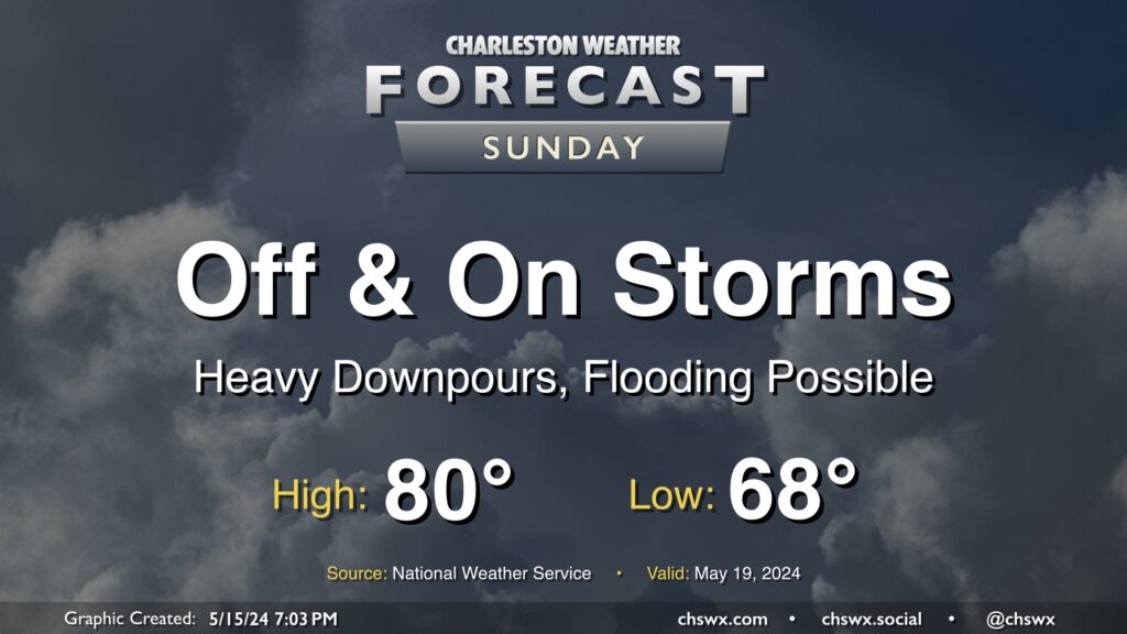
Sunday: Off and on rain could bring pockets of flooding

Another round of showers and thunderstorms is expected on Sunday. A stalled cold front will cut down on the surface-based instability, so severe weather is not expected, but there’s still quite a bit of moisture around and a mid-level trough hanging right overhead. This will be enough to kick up more showers and thunderstorms, with heavy rain the main concern. The NWS forecast is for generally around 1-2” of rain tomorrow, with isolated spots receiving upwards of 3-4” in the heaviest rains. A flooding threat could result, causing travel to become treacherous at times. We’ll want to keep an eye on this throughout the day — stay tuned.
Temperatures behind the front will top out just around 80° after a muggy start in the upper 60s. Highs will remain tempered by ongoing showers and thunderstorms as well. Stay dry!