Friday & the weekend: Comfortable warmth to welcome June

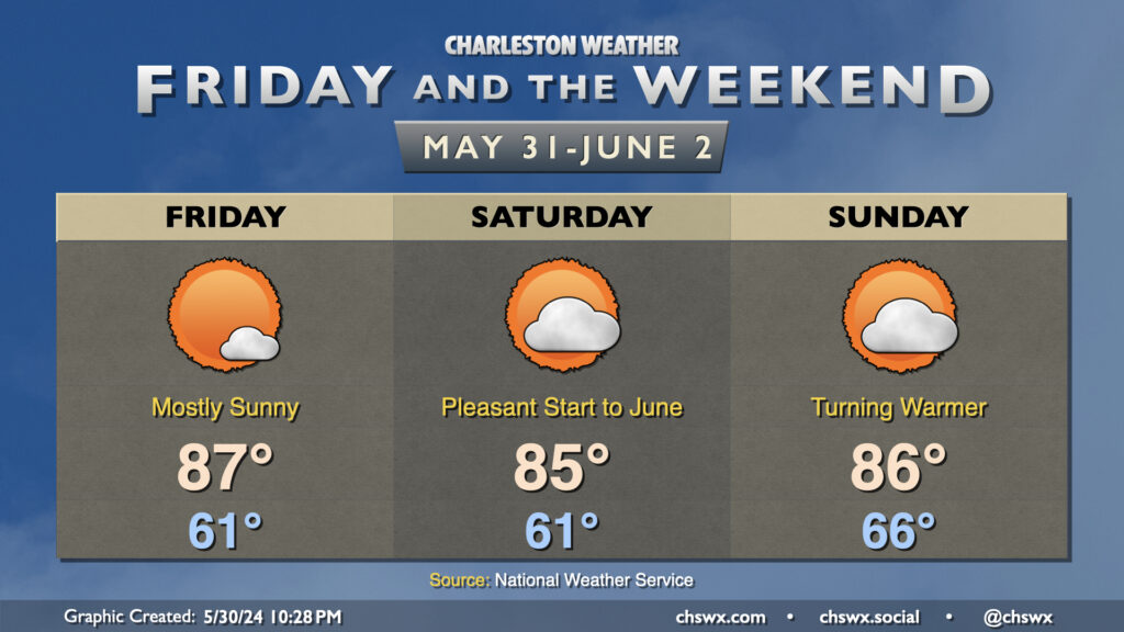
We’ll close out May with plenty of sun, temperatures generally near if not slightly below normal (especially in the mornings), and reasonably low humidity. Friday looks to run a little warmer than Thursday did, but the northerly breeze will keep the air on the dry side as dewpoints fall into the low 50s during the height of the afternoon. Expect mostly sunny skies, with just a few passing clouds as moisture remains a little tough to come by.
Saturday will be one more really nice day before a warming trend kicks in beginning Sunday. Temperatures on Saturday will once again bottom out in the low 60s, with highs in the mid-80s in the afternoon. Dewpoints will creep up a couple degrees, but it should still feel plenty comfortable outside as relative humidity values drop below 35% in the afternoon. Dewpoints begin to rebound to more June-like levels on Sunday as high pressure starts to slip offshore. Expect a milder start to Sunday with lows bottoming out in the mid-60s, warming to the mid-80s in the afternoon with a little bit more mugginess in the air as dewpoints return to the 60s. This warming trend continues into next week, with highs returning to the 90s and slight afternoon shower and thunderstorm chances coming along for the ride as well. But first, we have a beautiful weekend to enjoy — so enjoy it!