Rest of the work week: Generally on the warm side and mostly rain-free

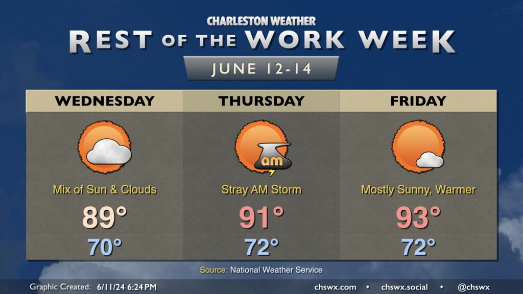
The rest of the work week will generally trend warmer and stay mostly rain-free, especially the further inland you are. Expect generally partly cloudy skies Wednesday, though we’ll see a disturbance swing through later in the day that’ll add some high cloud cover to the mix. Expect highs to top out in the upper 80s to around 90° after a start around 70°.
The aforementioned disturbance in association with the stalled front nearby could kick up some stray showers and thunderstorms on Thursday, especially near the coast. Most locations inland of 17 could have a brief window for a storm or two Thursday morning, but the vast majority of us should get the day in rain-free. Temperatures get a little warmer, with a low 70s start yielding to highs in the low 90s.
The disturbance and associated low is out of here by Friday, yielding a warm and mostly sunny day. Once again, we start in the low 70s, warming to the low to mid-90s in the afternoon. We’ll keep this warming trend going into the weekend, with upper 90s possible on Saturday.