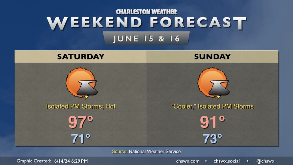
Weekend forecast: Plenty warm with a storm or two in the afternoons

Heat continues to build into Saturday before onshore flow knocks thermometers down a few clicks starting Sunday. After starting the day in the low 70s, temperatures should head to the mid-to-upper 90s in the afternoon especially away from the coast. A few thunderstorms are possible in the afternoon as the seabreeze moves inland, which may offer some relief, but otherwise, be ready for a hot day that’ll feature heat indices over 100° at the height of the afternoon. Take frequent breaks in the shade and with plenty of water if you must be outside.
Winds turn more onshore Sunday, which will make it a little more humid but also “cooler” (technically, 91° is cooler than 97°), though heat indices will peak in the upper 90s so it all comes out in the wash. A few storms will be possible along and ahead of the seabreeze once again in the afternoon, but a rain-free day is quite possible for many of us. Just be ready to bring outdoor activities inside in case a storm threatens your location.