Sunday: Back to heat; strong evening storms possible
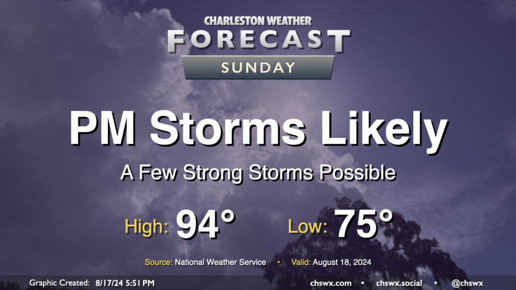
Well, we are back to the heat — briefly, at least — on Sunday as dewpoints head back to the mid-70s ahead of a cold front that could bring stronger storms later in the day. Expect air temperatures to peak in the mid-90s, with heat indices in the mid-100s — shy of the Heat Advisory criteria of 108°, but not by much — at the height of the afternoon.
Attention will then turn to the potential for strong to severe thunderstorms accompanying the front in the late afternoon and evening hours. A thunderstorm complex is expected to develop in the Upstate and will head to the Lowcountry as the day goes on. Given the heat and humidity, the atmosphere looks to be capable of sustaining strong to severe thunderstorms with damaging wind gusts as the main concern. Heavy rain will be a secondary concern, but these storms should be moving fairly quickly so any ongoing flooding shouldn’t worsen. Be ready for conditions to change in a hurry tomorrow evening, and keep an ear out for possible watches and warnings.