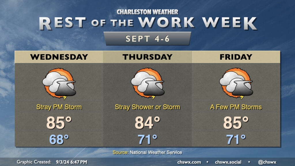
Rest of the work week: A few more clouds, maybe a few showers

Tuesday ended up being a rather nice day across the area as the low-level cloud cover that was originally anticipated didn’t quite materialize. Unfortunately, that reprieve may not last as the stationary front offshore buckles back toward the coast a bit more starting Wednesday. This should help spread some cloud cover back into the area, though the best shower and storm chances will reside closer to the coast. Northeasterly flow will keep temperatures well in check, with lows in the upper 60s Wednesday followed by low 70s Thursday into Friday. We’ll see highs continue to peak in the mid-80s, which remains a few degrees below normal for this point in the year.
Rain chances will tick up heading into Friday as a little more moisture works back into the area. We’ll see rain chances peak Saturday into Sunday before another front moves by for Monday, which should bring another round of cooler and drier air into the region for next week.