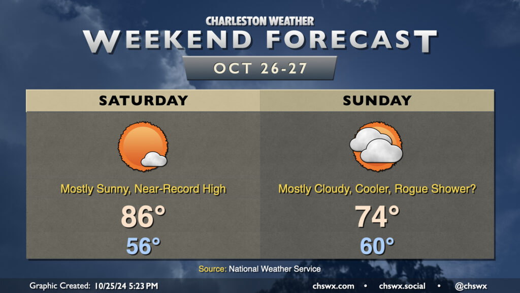
Weekend forecast: Warm Saturday, cooler and cloudier Sunday

We’ll look to approach a record high on Saturday before a cold front swings through Sunday, cooling us off a bit and increasing cloud cover. (A shower or two may not be out of the question, either.)
High pressure at the surface and aloft hangs on for one more day on Saturday. We start the day in the mid-50s, but compressional heating ahead of the aforementioned front will help drive temperatures into the mid-80s. The record high of 87°, set in 1939, may be achievable at North Charleston, so we’ll keep an eye on this. A few clouds are possible, but sunshine should be the dominant feature once again.
Sunday will feature more clouds than we’ve seen in a while as the ridge moves out and a trough moves in overhead, driving a backdoor front through the region. We start around 60°, but only warm to 74° in the afternoon as winds shift northeasterly. Model guidance still does not totally rule out a shower or two across the Tri-County on Sunday, but most of us should expect the day to stay rain-free. Any rain that falls would be largely insignificant, too, perhaps in the hundredths of inches at best, so definitely not anything to get your hopes up over (if rain’s what you’re looking for, anyway).
Heading into next week, we stay cool for Monday but start to warm up again on Tuesday and beyond. Halloween will be on the warm side with lows in the low 60s warming to around 80° in the afternoon under mostly sunny skies. Alas, no sweater weather is in the foreseeable future as we head into November.