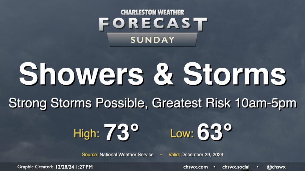
Sunday: Showers and thunderstorms ahead of a front, with a few strong storms possible

Sunday looks to be an active weather day as a cold front approaches the area. Expect at least scattered to numerous showers and thunderstorms to develop throughout the day, with a possible squall line moving by sometime in the early to mid-afternoon hours.
As is often the case with these cool-season severe weather setups, the forecast hinges very much on just how unstable the atmosphere can get. Ultimately, we’re rooting for clouds and rain ahead of the main line of storms in the afternoon so that we keep things relatively on the stable side, even though strong, gusty southerly winds will be sending plenty of warm, moist air northward. On the other hand, if we stay mostly dry or there are even some breaks in the clouds, that will help drive the risk for stronger storms up a little higher. Overall, the main concern will be for damaging straight-line wind gusts, but if some of that stronger instability can be realized, a tornado or two can’t be totally ruled out, especially west of 17-A. Cooler waters near the coast should help modulate the severe threat a little bit as the line moves eastward, but nobody’s totally exempt from the severe storm risk tomorrow. You’ll want to keep a couple redundant sources of weather warnings nearby, including one that doesn’t require an Internet connection (such as a NOAA Weather Radio). The timing for the best risk of severe weather in the Tri-County currently looks to be roughly noon through 4pm, though the impact window is as wide as 10am-5pm depending on the forward speed of the squall line and if any discrete storms can get started ahead of the line.
As alluded to earlier, it’ll be a mild and breezy day outside of thunderstorms. Expect lows in the mid-60s — warmer than the normal high for this point in December — to warm to the low 70s in the afternoon. Gusty southerly winds could blow as hard as 30 MPH, and perhaps higher on bridges and overpasses. Use caution if you’re out and about during the day.
Expect the worst of the weather to be off the coast by early evening, though a few showers could yet redevelop along the front itself as it passes through later in the evening. From there, we’ll run slightly cooler Monday before a more substantial shot of cold air arrives just in time to start the New Year on Wednesday.
Follow my Charleston Weather updates on Mastodon, Bluesky, Instagram, Facebook, or directly in a feed reader. Do you like what you see here? Please consider supporting my independent, hype-averse weather journalism and become a supporter on Patreon for a broader look at all things #chswx!