Sunday: Showers and wind, with sporadic damaging gusts possible
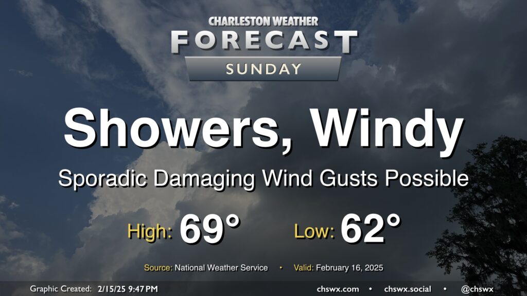
Sunday will be a very breezy day as a highly dynamic storm system moves across the eastern half of the continental United States. Showers and a few thunderstorms should set up in a line ahead of a cold front which will come through generally between 11am and 1pm, according to NWS. The line of showers and storms could produce damaging wind gusts to 60 MPH, which could prompt some Severe Thunderstorm Warnings for tree damage and possible power outages. Even outside of storms, gusts 40+ MPH will be possible, especially on bridges and overpasses. A Wind Advisory goes into effect overnight through about 5PM.
Rain will be offshore by evening, and winds will die down as the front clears the area. This will set up a much cooler week ahead, with a mid-week secondary front likely to send us back below freezing for the first time since the January snow later in the week.