Friday & the weekend: Very chilly end to the work week, but warming up from there
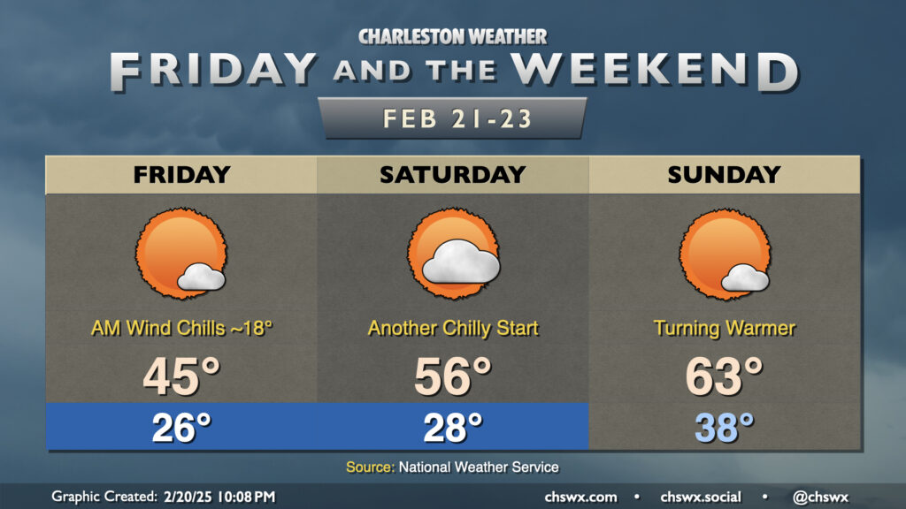
After a chilly and dreary Thursday where temperatures barely got up to the low 40s, we’ll at least see the sun on Friday. Still, though, it’s going to be very chilly, with lows in the mid-20s and wind chills in the mid-to-upper teens to start the day, warming only to the mid-40s in the afternoon despite that additional sunshine. In fact, we’re in line to break the daily cold high temperature record of 47° set on February 21, 2020 as highs are set to peak just in the mid-40s.
A warmup is in store for the weekend, though we need to get through one more chilly Saturday morning first. We’ll start Saturday in the upper 20s — not quite Cold Weather Advisory territory as we’re going to see Friday morning, but still chilly — with temperatures warming to the mid-50s with an uptick in cloud cover but still ample sunshine. Temperature recovery continues as we get into Sunday, with lows running 10° warmer on Sunday morning. We return to the low 60s — a touch on the cool side of normal, but generally within spitting distance of it — on Sunday afternoon with mostly sunny skies expected.
Temperatures head above normal next week, with a return to the 70s expected by mid-week. The next rain chance looks to hold off until next Thursday, when another storm system will affect the area.
Follow my Charleston Weather updates on Mastodon, Bluesky, Instagram, Facebook, or directly in a feed reader. Do you like what you see here? Please consider supporting my independent, hype-averse weather journalism and become a supporter on Patreon for a broader look at all things #chswx!