Sunday: A few strong to severe storms possible midday
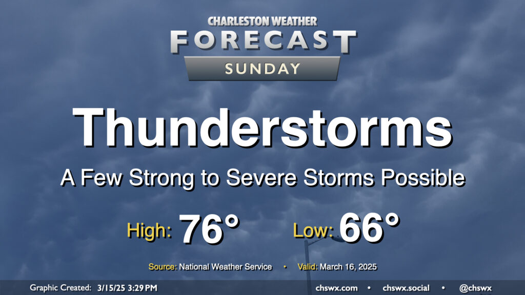
The main weather story for Sunday will be the risk for strong to severe thunderstorms in association with a squall line moving through the area generally from the mid-morning through mid-afternoon hours. Damaging wind gusts will be the overriding concern, but a tornado or two cannot be discounted, nor can some sporadic hail reports be discounted as well.
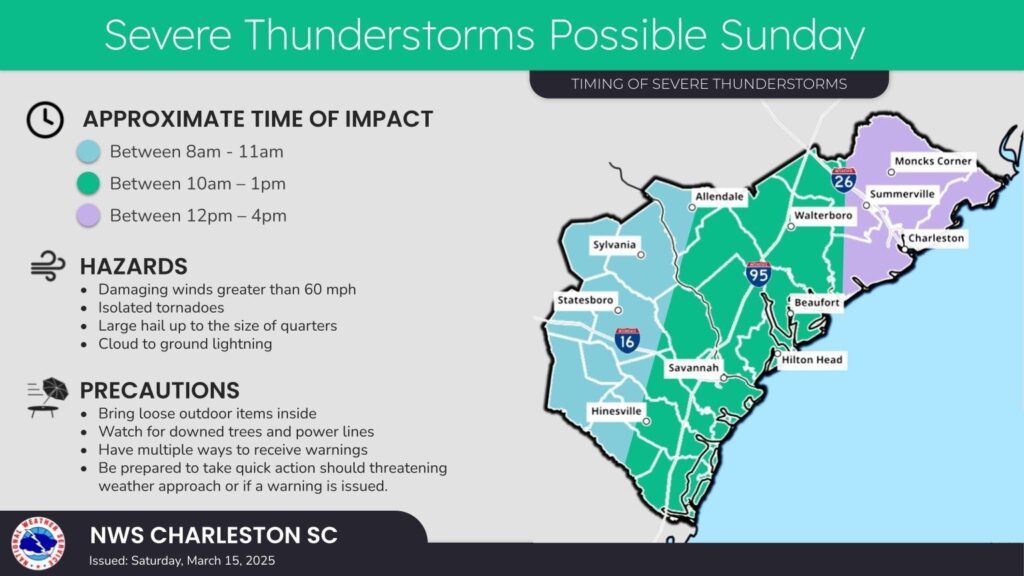
The National Weather Service expects the timing for storms for western parts of the Tri-County (generally the western half of Dorchester and Charleston counties) between 10am-1pm, with the rest of the metro (including downtown) between 12-4pm. Squall lines are tough to time out even less than 24 hours in advance, hence the wide range of times. So, you’ll want to keep a keen eye on the weather for much of the day. I expect a weather watch to be issued at some point Sunday morning, and you’ll want to make sure you have two ways to receive weather warnings, preferably one of which that doesn’t involve the Internet.
Once the main squall line clears, there may be another round of storms. However, it doesn’t appear that those will be quite as strong, but we’ll want to watch it nonetheless. The front clears the area in the evening, and that will set up a fairly quiet week ahead.
Stay weather-alert tomorrow just in case, and know that it will get better from here!