Weekend forecast: Warm and breezy, particularly Sunday
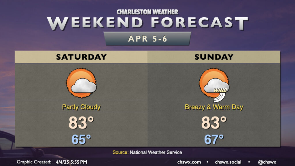
Bridge Run Weekend will remain rain-free, though much warmer-than-normal temperatures will continue. Saturday starts in the mid-60s, perhaps at least tying the record warm low temperature for April 5 (65°) before highs head to the low to mid-80s in the afternoon under generally partly cloudy skies. The seabreeze comes through later in the afternoon, undercutting any stronger warming, so the record high of 89° set in 1978 appears safe. It’ll still be a bit breezy, with winds 15-20 MPH with higher gusts at times owing to our position between high pressure over the Atlantic and a strong, stalled storm system to the west.
We will turn even breezier for Sunday as the storm system starts to dislodge and move our direction. Once again, a record warm low temperature is in striking distance (68° set in 2023) to start the day before warming back to the low to mid-80s in the afternoon before the seabreeze moves through. A solid mix of sun and clouds will give the sky some character, but we stay rain-free for one more day (though a few showers will be possible late the further inland you go).
Looking ahead: Next rain chance Monday, then turning cooler
Our next rain chance arrives with the aforementioned storm system on Monday. Showers and thunderstorms will become more likely as the day goes on, and should clear the area during the evening hours. The typical timing variability remains in place with this front, and so the onset and cessation of rain still need some fine-tuning. We’ll also want to keep an eye on it for an isolated strong or severe storm, but right now the risk for severe doesn’t appear as robust as this past Monday’s was. We’ll keep an eye on it.
Once the front is through, we cool down quite a bit. Highs Tuesday and Wednesday will be more reminiscent of this past week’s lows, if that’s any indication. It doesn’t look like it will get cool enough for any frost and freeze concerns, though.
Follow my Charleston Weather updates on Mastodon, Bluesky, Instagram, Facebook, or directly in a feed reader. Do you like what you see here? Please consider supporting my independent, hype-averse weather journalism and become a supporter on Patreon for a broader look at all things #chswx!