Rest of the work week: A couple more quiet days; showers, maybe a storm Friday
Quiet and generally pleasant weather continues for the next couple days as high pressure remains in control through Thursday ahead of the next front and accompanying rain chance Friday.
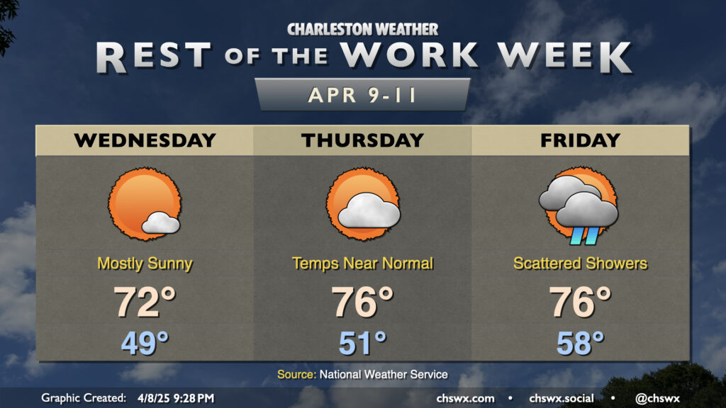
Wednesday starts in the upper 40s, warming to the low 70s in the afternoon as high pressure transits the Mid-Atlantic states. A few clouds will be possible, but otherwise, expect largely unfettered sunshine and generally quiet conditions. We’ll have a bit of a northeasterly breeze continuing throughout the day as the high slides eastward, with a bit more of an easterly trajectory setting up late.
High pressure starts to slip away Thursday, setting up a bit more southerly return flow. This will warm temperatures a few degrees higher than Wednesday. We start the day in the low 50s, warming to the mid-70s in the afternoon with generally scattered clouds amidst an otherwise brilliantly sunny sky.
As mentioned earlier, the next rain chance arrives with a cold front on Friday. Model timing is a touch faster than this time yesterday, which will put scattered showers and maybe even a thunderstorm or two in play for a fair bit of the day, though it’s conceivable that shower activity could begin to shut off in the evening as the front works on through. Temperatures Friday start in the upper 50s to around 60°, warming to the mid-70s once again in the afternoon.
Behind the front, a generally quiet and pleasant weekend awaits (though a stray shower can’t be ruled out Saturday afternoon). Expect below-normal temperatures and low humidity, with highs generally running in the low 70s both days. From there, we’ll warm back to the 80s starting Monday and into the mid-80s on Tuesday.
Follow my Charleston Weather updates on Mastodon, Bluesky, Instagram, Facebook, or directly in a feed reader. Do you like what you see here? Please consider supporting my independent, hype-averse weather journalism and become a supporter on Patreon for a broader look at all things #chswx!