Rest of the work week: A few shower and thunderstorm chances
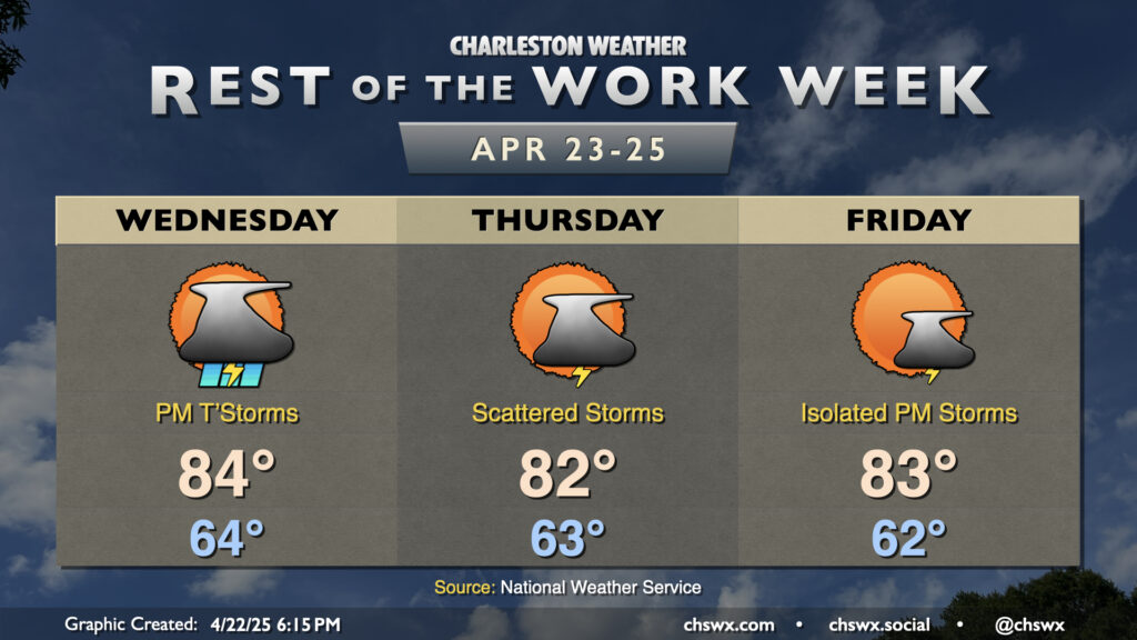
The rest of the work week will be a bit on the unsettled side, especially Wednesday into Thursday, as a stalling front combines with some mid-level energy that’ll be working through the area. Wednesday starts generally quiet with lows in the mid-60s, but showers and thunderstorms should generally fill in starting in the early to mid-afternoon hours as temperatures peak in the mid-80s. Locally heavy rain will be possible, and a strong storm or two with hail and gusty winds can’t be ruled out, especially inland. Keep an eye out just in case, and be ready for evening commute slowdowns.
Storm coverage decreases heading into Thursday, but the lingering front and some remnant instability and shear keeps scattered shower and thunderstorm chances in play for Thursday. There are some signs that storm coverage may end up a little more sparse on Thursday, but still be ready for a brief downpour or two. Temperatures run a touch cooler, with lows in the low to mid-60s and highs coming in a couple clicks below Wednesday’s highs, generally in the low 80s.
The front retreats or dissipates by Friday, and that will help tamp down on the risk for showers and thunderstorms Friday afternoon (though a stray storm is possible on the seabreeze). Temperatures will continue to run warmer than normal, with lows in the low to mid-60s and highs in the low to mid-80s expected.
Another front moves through over the weekend with scattered storm chances each afternoon (especially Sunday). This one clears the area, though, and temperatures get back down to near normal for late April starting Monday.
Follow my Charleston Weather updates on Mastodon, Bluesky, Instagram, Facebook, or directly in a feed reader. Do you like what you see here? Please consider supporting my independent, hype-averse weather journalism and become a supporter on Patreon for a broader look at all things #chswx!