Weekend forecast: Staying on the stormy side, but it won’t rain all the time
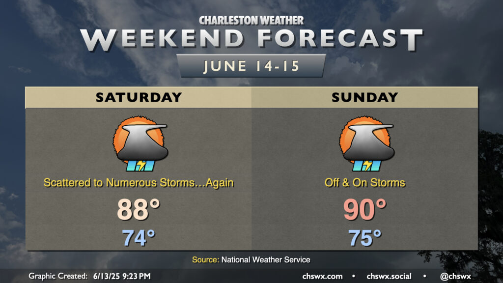
I’m running out of ways to say “it’s going to be hot and stormy” but here we are. The pattern remains stagnant with the Charleston area on the western periphery of Atlantic high pressure at the surface and aloft. Mid-level disturbances will continue to ripple into the area from the west, and those disturbances combined with a continued influx of warm and humid air will keep rain chances elevated, especially in the afternoons. Saturday starts in the mid-70s, warming to the upper 80s in the afternoon. Thunderstorms should initiate once again in the late morning and early afternoon hours, particularly along and ahead of the seabreeze. As with previous days, the risk for severe weather is generally low, though a strong to severe storm can’t be ruled out especially where outflow boundaries collide.
We’ll do it again on Father’s Day, with lows in the mid-70s warming to around 90° in the afternoon. Once again, expect scattered to numerous showers and thunderstorms to develop across the area especially during the afternoon hours. Once again, pockets of heavy rain will be possible, and an isolated severe storm is not out of the question. As always, though, all thunderstorms are dangerous due to the lightning they produce. Remember the rule: if you can see lightning or hear thunder, you are close enough to be struck and should head inside.