Friday & the weekend: 90s continue with a few storms each afternoon
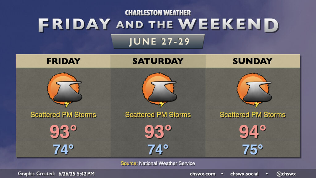
A fairly standard summer setup will take shape for Friday and the weekend as high pressure in the Atlantic ridges westward across the area, keeping temperatures warm and humid with daily storm chances. We can generally expect temperatures to start in the mid-70s each morning, with temperatures warming to the low to mid-90s each afternoon as our run of 90° days dating back to June 14 continues. Dewpoints ahead of the seabreeze will mix out with some drier air aloft to keep heat indices from getting too far out of hand, with apparent temperatures running just 3 or 4° warmer than air temperatures. Still, if you have vulnerability to the heat, be mindful of too much strenuous activity during the afternoons.
We should see isolated to scattered showers and thunderstorms fire along and ahead of the seabreeze each afternoon. The risk for severe weather is very low, but there’s always the risk for a storm or two to briefly turn strong to severe especially where thunderstorm outflow boundaries collide. Remember, all thunderstorms are dangerous because of the lightning they produce. When thunder roars, go indoors!