Weekend forecast: A seasonally-appropriate end to June
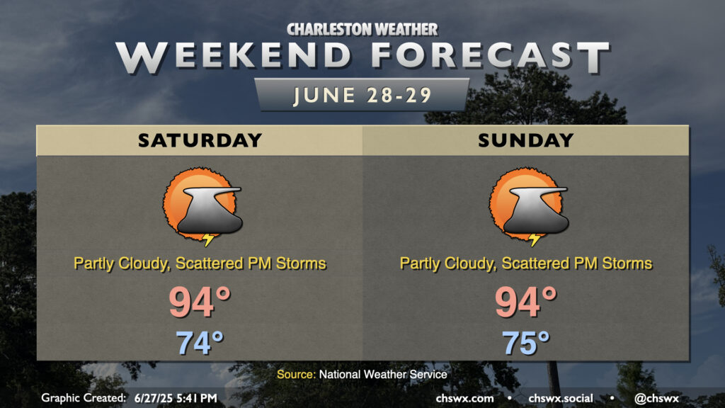
The final weekend of June will have that classic end-of-June feel: lows in the mid-70s, highs in the mid-90s, and isolated to scattered afternoon thunderstorms each day.
High pressure will extend westward from the Atlantic over the area this weekend, keeping a warm and humid airmass in place with a trough in the lee of the Blue Ridge taking shape to help initiate afternoon storms. Heat indices will peak generally around 100° or so, with locally higher values in the immediate wake of the seabreeze as it pushes inland. Our stretch of 90° days at the airport will get to at least 16 days, with no end in sight based on the latest NWS forecast package. It’s conceivable we could get close to last year’s stretch of 24 straight 90° days between July 3rd and July 26, which was good for the tenth-longest stretch of 90° days on record.
The risk for thunderstorms is standard summertime fare — some get a storm and some do not. Organized severe weather is not expected, but where outflow boundaries from collapsing storms collide, additional storms could fire and become briefly strong to severe. Remember, the lightning thunderstorms produce makes them all dangerous. When thunder roars, go indoors! But don’t cancel your outdoor activities, either. Just make sure you have a backup plan. Have a great weekend!
Follow my Charleston Weather updates on Mastodon, Bluesky, Instagram, Facebook, or directly in a feed reader. Do you like what you see here? Please consider supporting my independent, hype-averse weather journalism and become a supporter on Patreon for a broader look at all things #chswx!