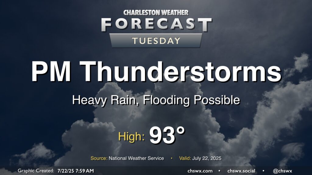
Tuesday: Thunderstorms developing this afternoon, with heavy rain and flooding possible
Thunderstorms will feature prominently in today’s forecast as the seabreeze pushes inland and a front drops in from the north.
First, though, it’ll get pretty warm once again: expect highs in the low-to-mid-90s before thunderstorms break out by early afternoon. From there, numerous thunderstorms are expected, with some training of cells potentially causing flooding problems. Making matters trickier is the risk for tidal flooding with the 6:57 PM high tide; water levels in the harbor will get close to 7’, which would flood roads without any rain. So, if downtown is in your plans this evening, pay close attention to the weather and be ready to scuttle those plans in case heavy thunderstorms set up ahead of and around that high tide.
A severe storm or two can’t be ruled out, either, with damaging straight-line winds as the primary concern thanks primarily to wet microbursts. However, this will be a secondary threat to the risk for excessive rainfall.
Stay alert today if you are out and about!