Weekend forecast: Heat wave ramps up with dangerous heat indices, especially Sunday
This is one of those weekends where you probably want to just stay in a nice, cool place as a heat wave begins to ramp up across the Lowcountry, with the potential for several record highs and record warm low temperatures to occur starting Saturday through much of next week.
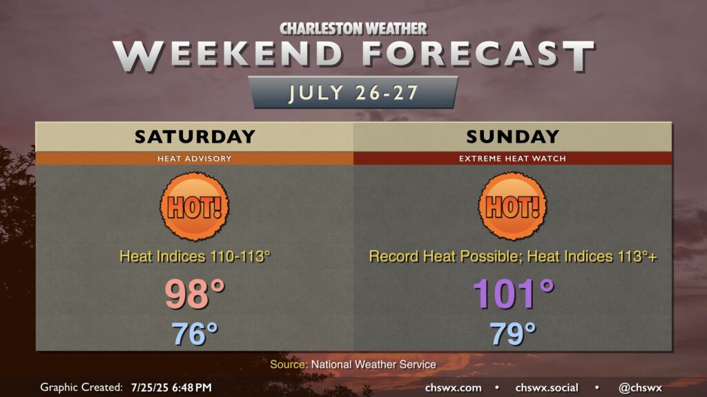
Saturday starts in the mid-70s away from the locally warmer coastline, where temperatures may not fall below the 80s for a few days. We’ll warm quickly into the upper 90s during the afternoon, and with dewpoints well into the 70s, heat index values will climb over 110° for many of us, with maximum heat indices approaching 113° especially in the immediate wake of the seabreeze.
For as hot as Saturday will be, with the forecast air temperature coming within a degree of the record, Sunday will be even hotter, representing the first time since Memorial Day weekend of 2019 that we could see air temperatures in the triple digits. Lows will be lucky to fall below 80° away from the coast, and overnight heat indices will remain in the 90s in many locations, especially downtown and at the beaches. Plenty of sunshine and the strong ridge of high pressure aloft will send temperatures soaring very quickly, peaking in the low 100s away from the coast. Heat indices should easily approach and exceed 113°, which is Extreme Heat Warning criteria. Thus, an Extreme Heat Watch — the first with the new extreme heat criteria put into place last year — is in effect for Sunday (and, for that matter, Monday).
Even if you’re a relatively healthy person, it’s just best not to get out into this heat if you don’t have to. Get any exercise in early, get plenty of fluids during the day, and be sure to look before you lock your car — temperatures become downright deadly to pets and children very quickly in conditions like these. Check on your vulnerable neighbors, including the elderly and those without air conditioning. Finally, hang in there for a few days, because this could be a prolonged heat wave.