Weekend forecast: Heat wave out, thunderstorms in
The heat wave that brought July to a close has ended courtesy of an incoming front, which will help cool things off (finally!) this weekend as the front moves through early Saturday. However, that comes at the cost of the risk for numerous showers and thunderstorms that could produce flooding rains. The risk will continue to increase as Friday night wears on, and with the front stalling to the south, periods of showers and thunderstorms will continue over the weekend and over the next several days. It’s hard to pinpoint exactly where the heaviest rain will fall, but generally speaking, a few inches of rain should be fairly easy for many of us to come by. It won’t rain all the time, either, but when it does, be ready for it.
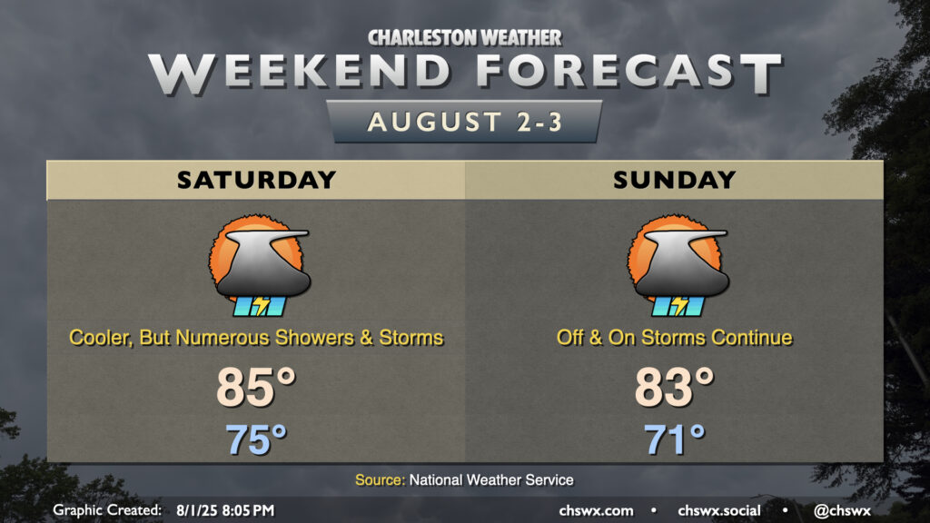
There is a low, but non-zero, severe weather risk Friday night that will diminish as we get into Saturday behind the front. Once the front is by, winds will go northeasterly, and despite the risk for thunderstorms, the air will turn a bit cooler and drier as dewpoints fall to around 70°. Saturday starts in the mid-70s, but with the influence of the front and storms in the vicinity, highs only peak in the mid-80s. Sunday starts even cooler, with lows in the low 70s warming to the low 80s in the afternoon. We look to stay in the 80s for a few days as the front lingers to our south, too, so despite the rain, at least we won’t be dealing with the dangerous heat of the past week-plus, which helped propel July into the fourth warmest on record at the airport climate site in North Charleston. (Records for that site go back to 1937.)