Sunday: Still unsettled as we monitor TD Nine
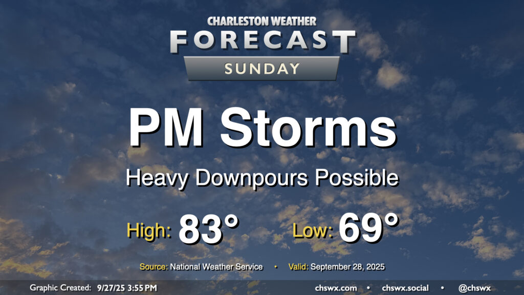
Sunday should feature another round of showers and storms, most likely in the afternoon, as a front in the vicinity starts to retrograde westward a bit courtesy of TD Nine (which should soon get the name Imelda; it hasn’t yet as of this writing). Temperatures will be near if not slightly cooler than normal once again Sunday with the prevalence of cloud cover (especially in the afternoon) and the slightly cooler and drier airmass behind the front. We start the day in the upper 60s in the metro to the low 70s at the coast, warming to the low to mid-80s in the afternoon before scattered showers and storms kick back up. From there, we will see several more days of inclement weather courtesy of the approaching tropical cyclone.
I’ll have a more detailed post specific to the tropics a little later this evening once we have the new track and intensity forecast in hand.