Weekend forecast: Warm and quiet weather continues
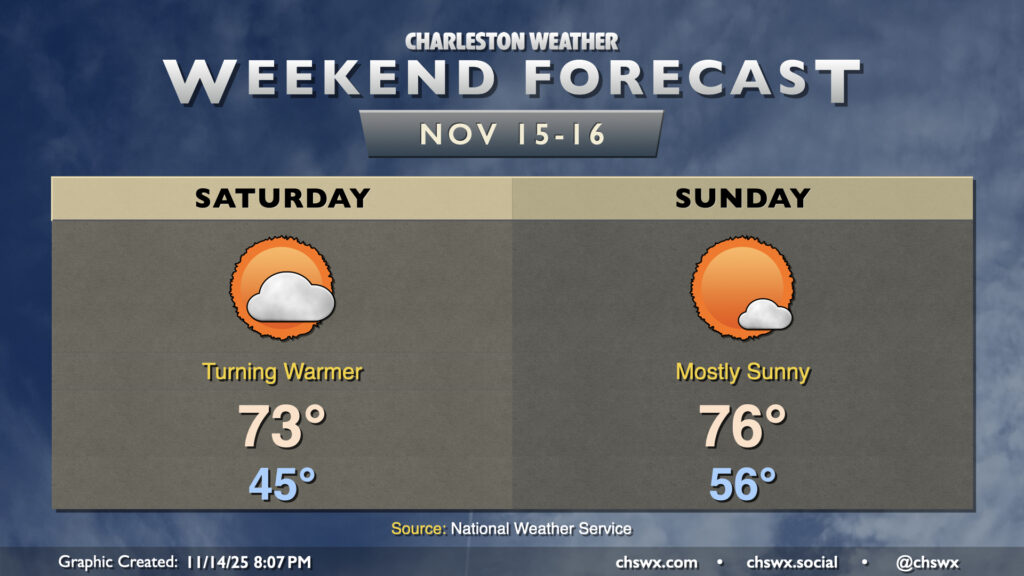
After a brief cooldown on Friday, temperatures head back above normal for the weekend as high pressure remains the dominant weather feature across the area. We’ll see the high that’s overhead as of Friday evening slip southward, sending wind directions a little more westerly to southwesterly, kicking temperatures back into the low-to-mid-70s on Saturday. Compressional heating ahead of an advancing cold front will send highs on Sunday solidly into the mid-70s after a warmer start in the mid-50s. This frontal passage once again looks dry thanks to a dearth of moisture; in fact, rain chances remain slim well into next week.
Looking ahead: Staying dry and warmer than normal
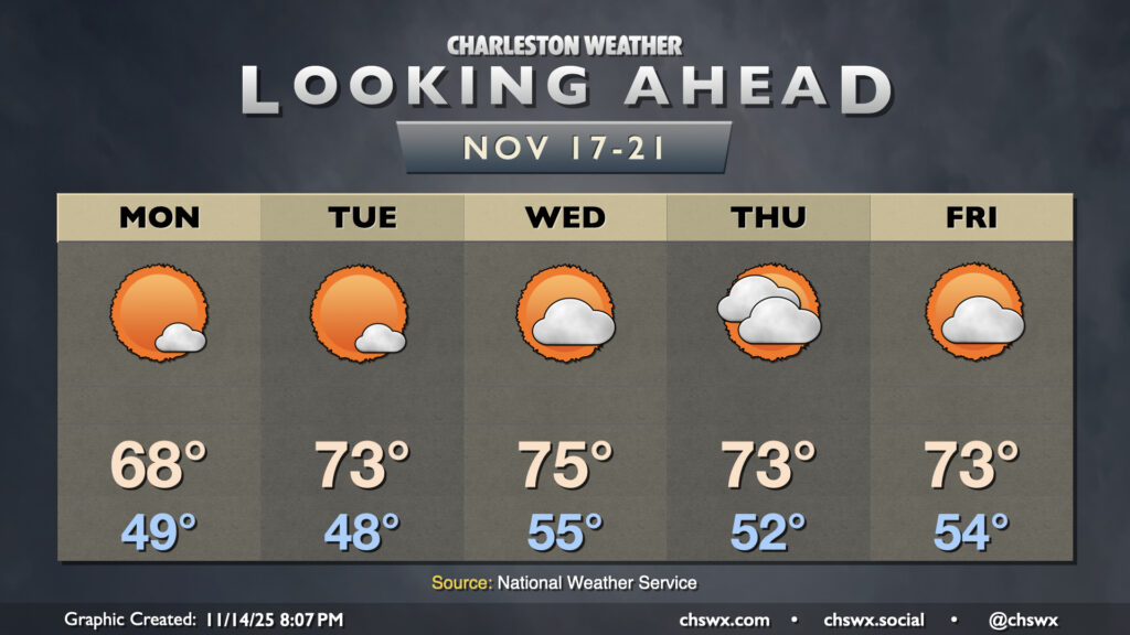
The last week before Thanksgiving will stay on the warm and dry side, increasing the risk for drought conditions to develop. After a brief cooldown Monday in the wake of Sunday evening’s front, temperatures head back above normal starting Tuesday afternoon, lasting through at least Friday as we remain under the influence of an anomalously strong ridge aloft, which will keep things warm and dry. This ridge will be eroded a bit as a strong mid-level low heads into the Ohio Valley toward the end of next week, and some models are suggesting at least a little rain as a front gets through Saturday. We’ll keep an eye on this to see how this evolves — long-range rain chances on models haven’t done well at panning out in the past couple weeks. (It’s tough to break a drought!)
Follow my Charleston Weather updates on Mastodon, Bluesky, Instagram, Facebook, or directly in a feed reader. Do you like what you see here? Please consider supporting my independent, hype-averse weather journalism and become a supporter on Patreon for a broader look at all things #chswx!