Forecast: Still on track for a warmer-than-normal Christmas
Sprawling high pressure aloft over the central part of the country will keep warmer-than-normal temperatures in the forecast through Christmas and heading into the weekend. There are changes coming, though, in the form of an Arctic blast that will bring 2025 to a chilly end.
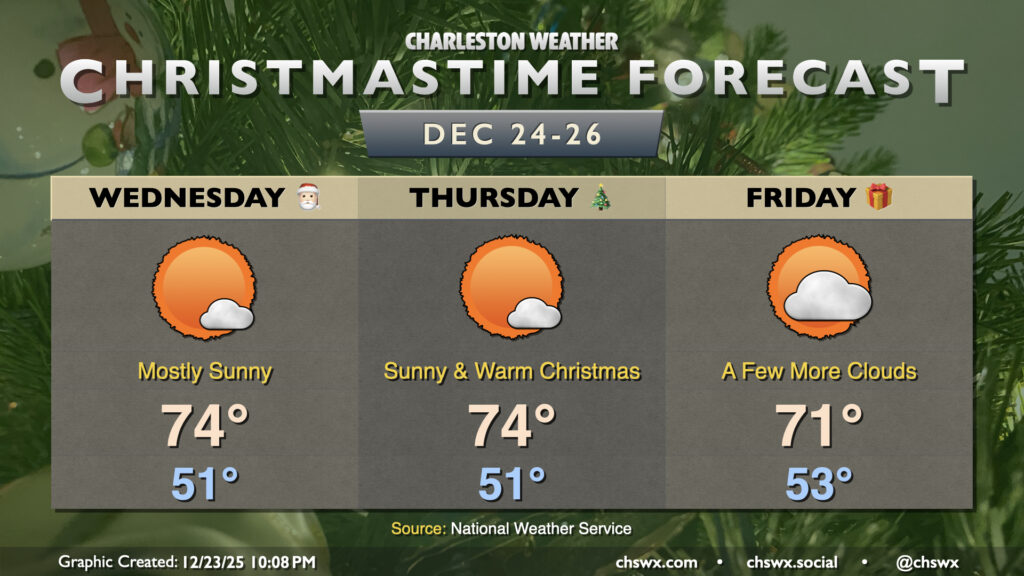
First, though, no concerns for Christmas weather across the Lowcountry except for that the fact that it is going to be pretty warm. Lows in the 50s and highs in the mid-70s will easily run 10+ degrees above normal for this point in the year, and plenty of sunshine is expected. However, it does not seem at this point that we will make a run at the record high for Christmas Day, which is 80° set in 2015.
A front will approach late Thursday into early Friday, kicking up some cloud cover and knocking down Friday’s high to a frigid 71°. However, rain appears highly unlikely as warmer-than-normal conditions continue.
Warmer-than-normal conditions will continue through Sunday before the upper-air pattern changes, draining plenty of Arctic air back southward into the Lower 48. A front will move through next Monday, cutting high temperatures off closer to normal, before plunging us back below freezing by Tuesday morning. Longer-range ensemble guidance suggests that we may not get out of the 40s for a couple more days, with below-normal temperatures continuing into the new year.
Follow my Charleston Weather updates on Mastodon, Bluesky, Instagram, Facebook, or directly in a feed reader. Do you like what you see here? Please consider supporting my independent, hype-averse weather journalism and become a supporter on Patreon for a broader look at all things #chswx!