Weekend forecast: Unsettled end to our recent warm spell
Our run of warm temperatures, which peaked Friday with a record-tying high of 82° at the airport, will be coming to an end this weekend as a storm system affects the area.
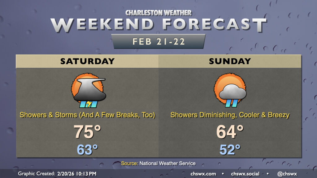
Saturday will be the more active of the two days, though a total washout is not expected. While there remain some slight timing differences with the overall model guidance, it appears that there could be a first round of showers that moves through Saturday morning, followed by a break, followed by a broken line of storms that pushes through later Saturday afternoon into the evening. It’s the evening round of showers and storms that could produce a sporadic damaging wind gust or two, but widespread severe weather is not expected this far north (though your chances of seeing a severe storm increase if you are headed into Georgia or far southern SC). Developing low pressure offshore will keep shower and storm chances in the forecast overnight into Sunday morning. Rain should depart by early Sunday afternoon and cloud cover will follow as well.
After an abnormally warm start to Saturday — the forecast low of 63° is just a couple clicks cooler than the normal high of 65° — temperatures will head to the mid-70s with the aforementioned front hanging around. Low pressure moves offshore Sunday, dragging a cold front along with it that will cool us off and dry us out. Expect highs to only peak in the mid-60s Sunday — in fact, just one degree warmer than Saturday’s low! Subfreezing temperatures will return overnight Sunday into Monday morning and again on Tuesday — it is still winter, after all.
Follow my Charleston Weather updates on Mastodon, Bluesky, Instagram, Facebook, or directly in a feed reader. Do you like what you see here? Please consider supporting my independent, hype-averse weather journalism and become a supporter on Patreon for a broader look at all things #chswx!