Rest of the work week: Unsettled pattern sticks around
Unsettled weather sticks around for the rest of the work week as disturbances continue to move across the area, with a shot of tropical moisture enhancing rainfall heading into the weekend.
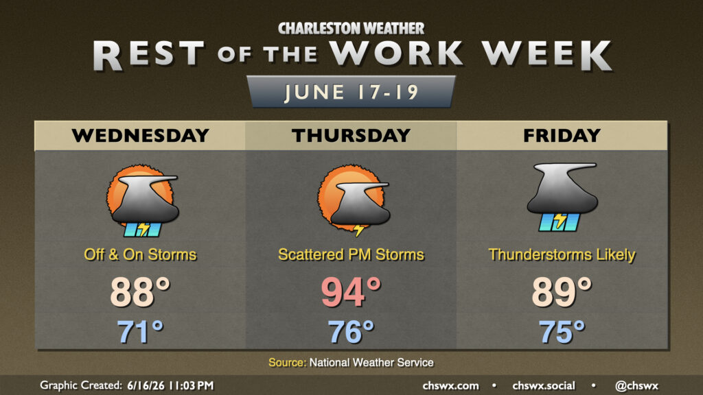
Wednesday’s forecast will continue to be on the unsettled side with periods of showers and thunderstorms possible into the evening. Steadier, lighter rain appears likely in the morning, but as that lifts out and daytime heating takes over, we should see scattered thunderstorms with some heavy downpours moving by. Not everyone sees a thunderstorm, though. Severe weather appears unlikely given relatively low instability but a gusty storm or two can never be totally discounted this time of year. Temperatures will only reach the upper 80s, which is right around normal for this point in June.
We’ll catch a lull in thunderstorms for a good bit of Thursday before they reignite later in the afternoon into the evening as another disturbance moves into the area. Temperatures on Thursday will respond well, with highs peaking in the mid-90s with heat indices in the low-to-mid-100s. Timing for thunderstorms is still a bit in doubt with some model spread, but overall, we should see an uptick in activity by Thursday night heading into Friday as a slug of tropical moisture courtesy of what could be the remnants of a short-lived tropical cyclone in the Gulf enhance rainfall a bit. Shower and storm coverage should be pretty good, and most of us should see rain at some point Friday, if not for a good bit of the day. Temperatures will peak in the upper 80s at best, though spots that see more rain could run cooler.
Follow my Charleston Weather updates on Mastodon, Bluesky, Instagram, Facebook, or directly in a feed reader. Do you like what you see here? Please consider supporting my independent, hype-averse weather journalism and become a supporter on Patreon for a broader look at all things #chswx!