Weekend forecast: Mostly unsettled, especially Saturday
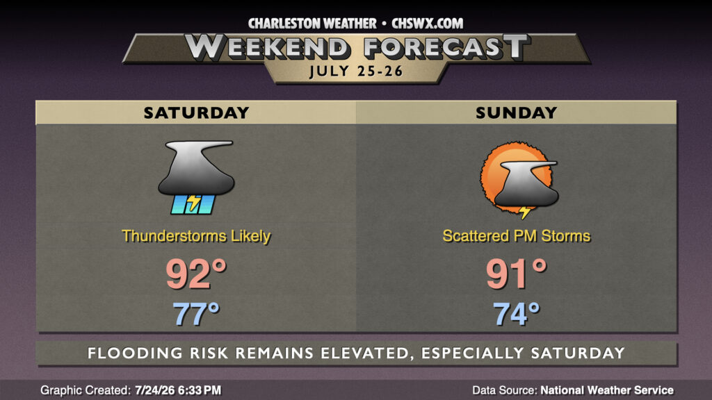
A stalled front will continue to contribute to shower and thunderstorm chances through the weekend, particularly on Saturday as a trough aloft swings through, providing a little extra “oomph” to budding updrafts aspiring to be efficient rain-makers.
Showers and thunderstorms will be possible at any point on Saturday. The greatest risk for storms appears to be in the afternoon into the evening as the seabreeze once again gets going and tries to interact with the front. Highs should still be able to get into the low 90s, especially for spots that are in longer lulls, after starting the day in the mid-to-upper 70s. Thunderstorms may be capable of producing flooding rain. Some spots have already received upwards of 2-3″, while some spots have seen far less (especially closer to the coast). We’ll want to keep an eye out on storms that repeat over the same areas, much as we saw in parts of Charleston County on Friday. Keep an ear out for possible flood alerts from the National Weather Service.
The trough moves offshore Sunday but the front remains lingering in the area with a couple waves of low pressure moving along it. This will keep scattered to numerous showers and thunderstorms in play, especially once we get some daytime heating going. The atmosphere will remain fairly juicy, but it’s unclear just how much coverage will develop compared to Saturday. For now, the best advice is to have a solid indoor backup plan for Sunday.
Follow my Charleston Weather updates on Mastodon, Bluesky, Instagram, Facebook, or directly in a feed reader. Do you like what you see here? Please consider supporting my independent, hype-averse weather journalism and become a supporter on Patreon for a broader look at all things #chswx!