Weekend forecast: A bit more unsettled, then a brief but precious downtick in humidity
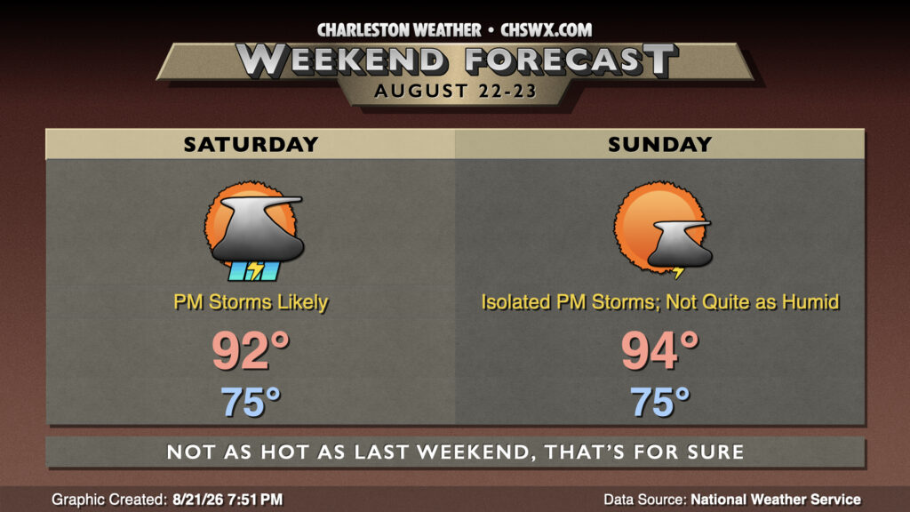
Saturday looks to be somewhat unsettled, particularly in the afternoon, as a cold front approaches the area from the west. We’ll start in the mid-70s, warming to the low 90s in the afternoon before thunderstorms get going. These storms will keep us out of Heat Advisory territory, with heat indices generally peaking around 101-105°, highest near the coast and in downtown Charleston. This is below the Heat Advisory criteria of 108° for two hours — the first time since August 11 we may get through a day without heat headlines! From there, expect showers and thunderstorms to get going, with periods of heavy rain and frequent lightning at times. The risk for storms should continue through the evening, diminishing as we get past sunset.
Sunday will once again start on the warm and humid side, but as the day goes on, we should see lower dewpoints begin to mix into the area from the west. Spots near I-95 could see dewpoints dip into the upper 60s, in fact, while much of the rest of the metro dips into the low 70s. Areas near the coast, though, will stay firmly in the soup on Sunday with dewpoints in the mid-70s. There will be less in the way of cloud cover, though a stray seabreeze storm or two can’t be totally discounted. Highs peak in the low 90s inland and in the upper 80s near the coast. We’ll have an even less humid day on Monday before the pattern turns unsettled again for the rest of next week.
Follow my Charleston Weather updates on Mastodon, Bluesky, Instagram, Facebook, or directly in a feed reader. Do you like what you see here? Please consider supporting my independent, hype-averse weather journalism and become a supporter on Patreon for a broader look at all things #chswx!