Rest of Monday: Showers linger, but the deluge is over
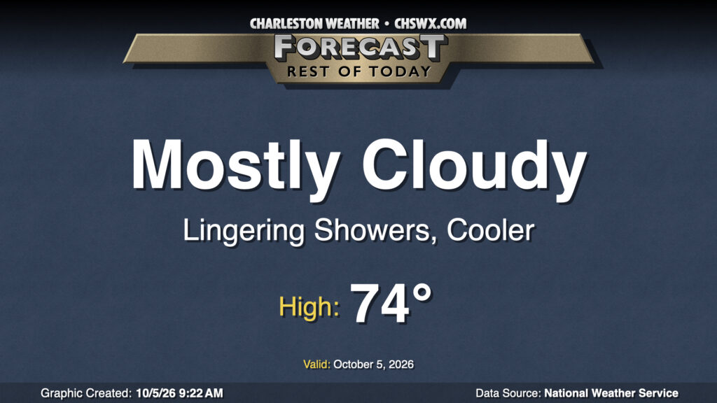
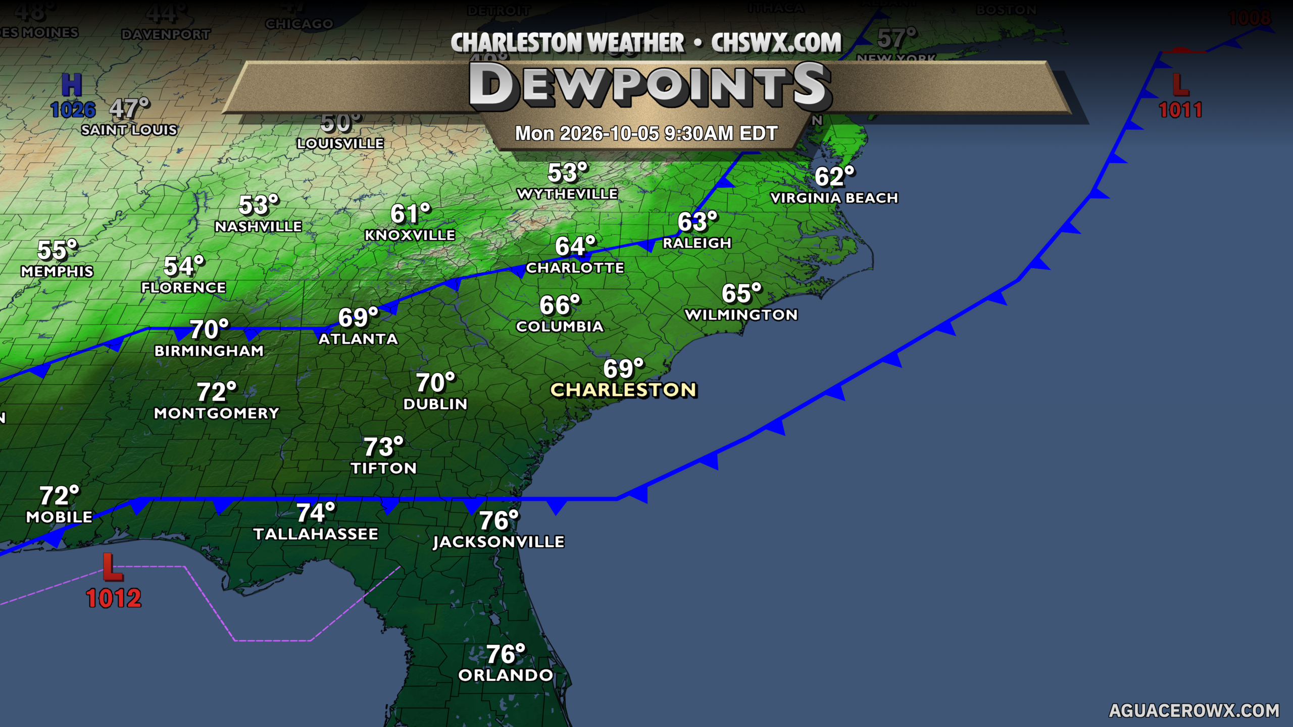
Showers will linger throughout the day Monday with mostly cloudy skies still in place. Temperatures will run cooler today with the cloud cover and northeasterly winds bringing in slightly cooler and drier air in the wake of a cold front — the first of two to affect the area early this week. Expect highs to peak in the mid-70s with a break or two in the clouds possible from time to time. Additional rainfall amounts should be light, which is awfully good news after an absolutely waterlogged Sunday night for parts of the Charleston metro.
Record rainfall yesterday at downtown Charleston
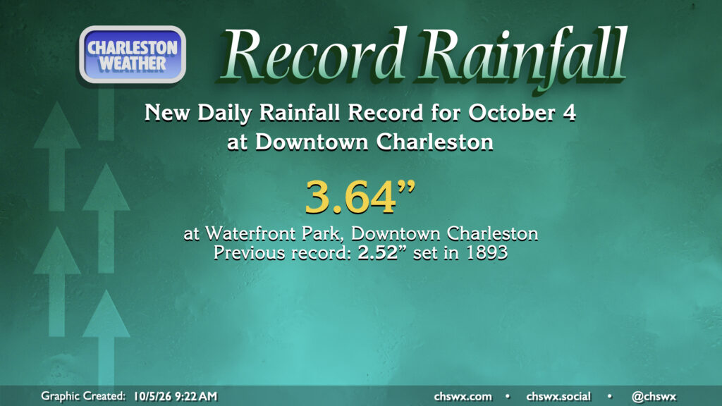
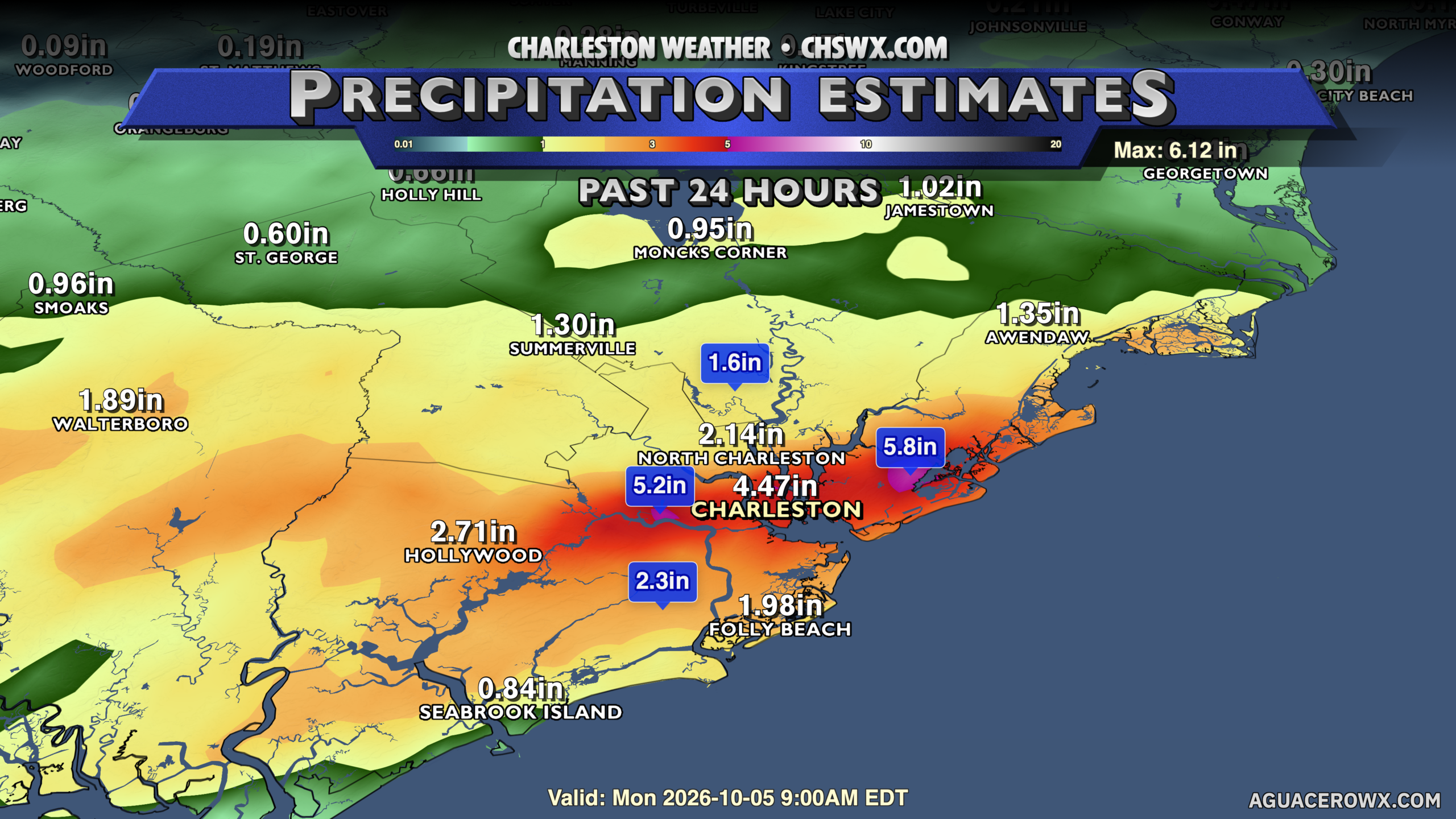
Sunday’s rainfall broke a 133-year-old daily rainfall record for downtown Charleston. Showers and thunderstorms training on a stalled boundary lined up for several hours, flooding many roads downtown at low tide. This led to at least nine water rescues and 20 submerged vehicles, according to emergency management reports. Gauge-calibrated radar estimates suggest some spots received over 5″ of rain, particularly around the west-of-the-Stono Sea Islands and near Dewees.
Coastal hazards increasing starting Tuesday
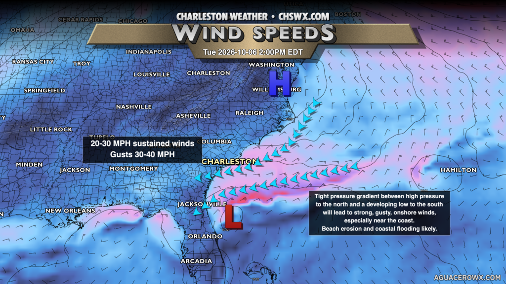
Low pressure developing to the south will butt up against a developing wedge of high pressure to the north. The resulting pressure gradient will cause winds to really tick up out of the northeast, especially near the coast. This is a favorable setup for not only coastal flooding but beach erosion, with the risk for moderate coastal flooding peaking Tuesday evening during the commute. For the mariners amongst us: Gales appear likely offshore, though winds should be not quite as strong in Charleston Harbor. Still, small craft will need to be particularly careful. More on this tonight.
Follow my Charleston Weather updates on Mastodon, Bluesky, Instagram, Facebook, or directly in a feed reader. Do you like what you see here? Please consider supporting my independent, hype-averse weather journalism and become a supporter on Patreon for a broader look at all things #chswx!