Jared Smith founded @chswx on Twitter in 2008 as an experiment in disseminating weather data through social media. In the ensuing decade-and-a-half, @chswx has provided live coverage of tropical cyclones, tornadoes, severe weather, and even a couple bouts of winter weather to the good people of Charleston, SC.
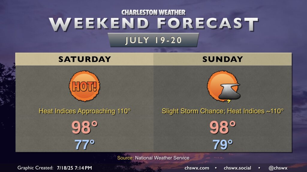
We’ve got a rather hot weekend ahead as high pressure builds in overhead and at the surface. We can expect temperatures each day to head into the upper 90s each afternoon, with heat indices surging to around 110° in spots especially in the immediate wake of the seabreeze.
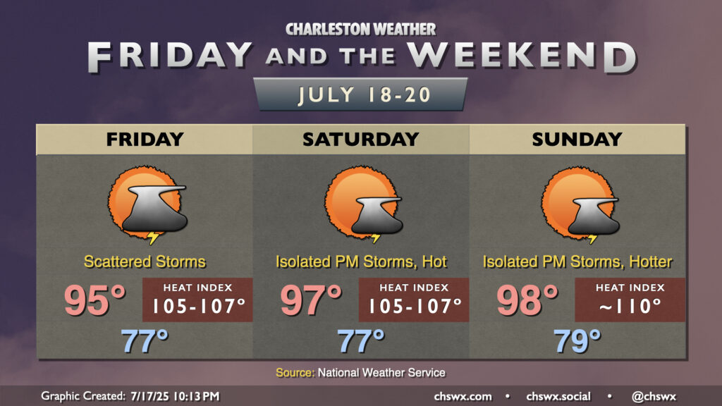
The story for Friday and the weekend will be the potential for dangerous heat as high pressure ridges in overhead and at the surface while dewpoints continue to run in the low-to-mid-70s, helping to keep overnight lows elevated to near record-warm levels and storm chances suppressed, worsening the risk for heat stress as a result.
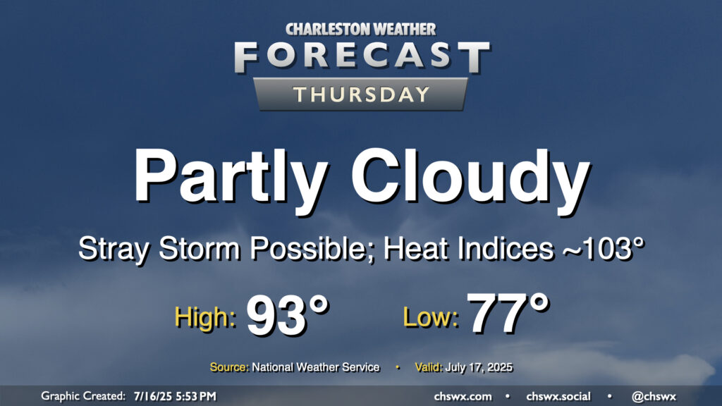
Storms will be more hit-or-miss on Thursday as high pressure aloft starts to rebuild, which will heat things up for the weekend. Temperatures will start in the mid-to-upper 70s, with lows possibly not getting below 80° at the beaches. We’ll warm to the low-to-mid-90s in the afternoon, and with limited storm coverage, heat indices should have no trouble getting into the low-to-mid-100s, especially post-seabreeze.
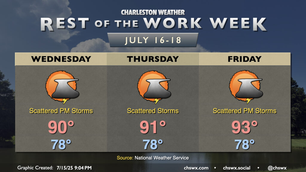
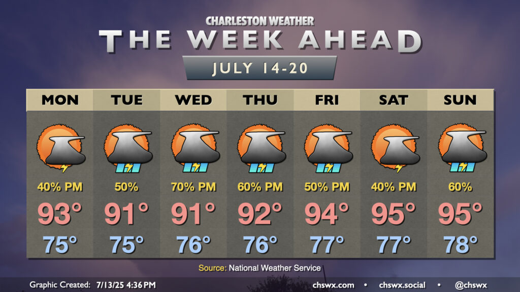
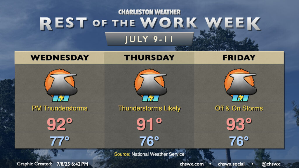
Warm and muggy conditions with a few afternoon storms continue across the Lowcountry for the rest of the work week, as we do in mid-July. Generally speaking, every day will feature very, very warm starts in the upper 70s to around 80° near the coast, with highs in the low 90s each afternoon. Highs warm as we get further along in the week with high pressure building back into the area, and we’ll turn even warmer as we head into the weekend.
Expect scattered showers and thunderstorms each afternoon along and ahead of the seabreeze. As usual this time of year, storms will be of the pulse variety (pop up, mature, collapse) and won’t produce any organized severe weather. However, where outflow boundaries from collapsing storms collide, storms could briefly turn strong to severe, with wet microbursts the most likely mode of severe weather. Regardless of severity, all thunderstorms are dangerous due to the lightning they produce. When thunder roars, go indoors!
We’ve got more of the same in store weather-wise for Tuesday. We’ll start in the mid-70s (with even warmer temperatures near the coast), warming to about the low 90s again under partly cloudy skies. Dewpoints are still quite muggy, and those low 90s will feel more like 100° during the height of the afternoon. We’ll continue to see some drier air slot into the area, which should limit (but not completely stamp out) thunderstorm coverage along and ahead of the seabreeze. Some spots could see some heavy rain at times, but storm motions seem reasonably progressive so major flooding issues aren’t expected. Overall, just another summer day here in the Lowcountry.
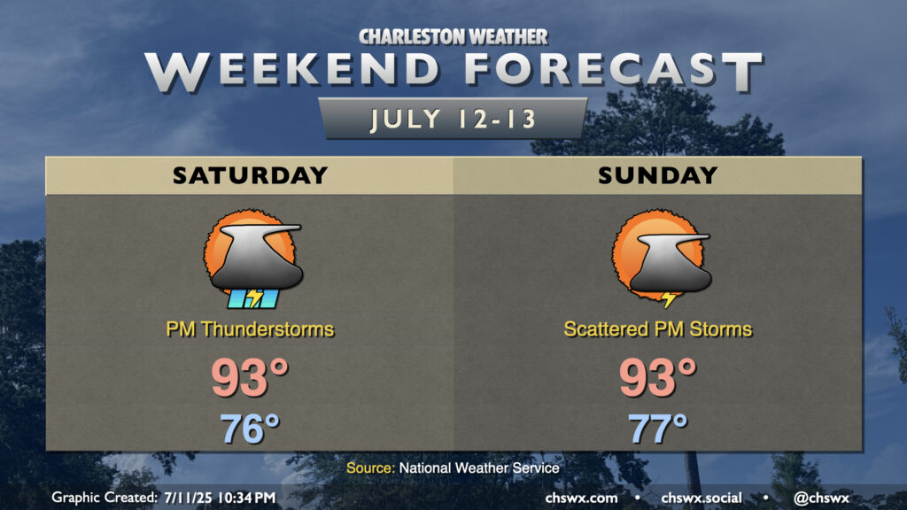
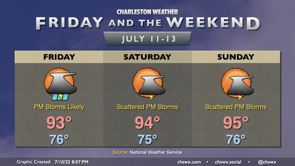
Plenty of heat and humidity continues as we head into the weekend, and this will lead to more afternoon thunderstorms (though perhaps not quite as many, especially Sunday). A ridge of high pressure aloft will nudge into the area from the west — enough to keep the heat on, but not quite enough to totally squelch the afternoon thunderstorm threat either. Temperatures will run in the mid-to-upper 70s each morning, warming to the low-to-mid-90s each afternoon. Showers and thunderstorms will initiate on the seabreeze as it pushes inland, though the prevailing flow around the ridge could send some storms back coastward — something to think about if the beach is in your plans. The ridge nudges in a bit more for Sunday, and that should help to keep the risk for thunderstorms a little lower than on Saturday, but either way, just be prepared to bring your outdoor activities indoors if thunderstorms approach.
We should see more thunderstorms on Friday as mid-level energy continues to affect the area for one more day. High pressure then ridges in aloft for the weekend, warming temperatures up and taking storm chances down a notch.
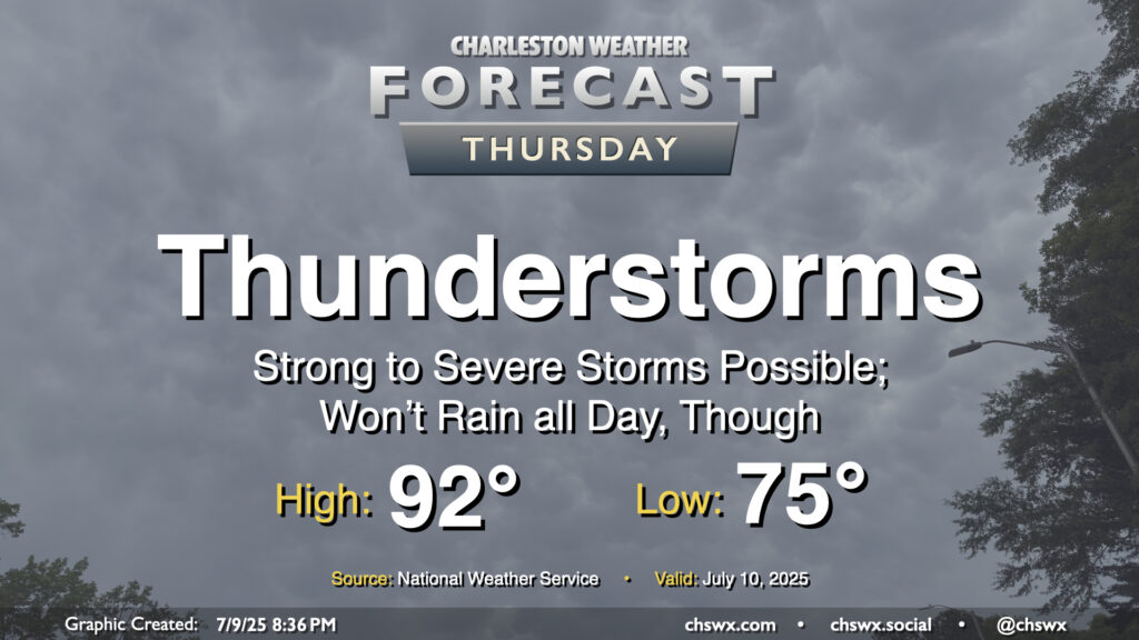
Another round of showers and thunderstorms is in the offing for Thursday as low pressure aloft continues to lumber through the area. A few of these storms could be on the strong to severe side, especially as the seabreeze pushes inland toward the 17-A corridor. Many of us should see storms on Thursday, with initiation possible by noon closest to the coast, moving inland as the day goes on. The main concerns will be damaging wind gusts, but some hail may be an issue, too. There will also be the risk for locally heavy rain potentially causing ponding of water on roads. And, as always, every thunderstorm is dangerous because of the lightning they produce — and given the expected instability, we may get some frequent lightning out of these.
Temperatures will warm from the mid-to-upper 70s in the morning to around the low 90s in the afternoon before storms begin to kick off and, mercifully, disrupt the heat a bit.
The rest of the work week will be characterized by scattered to numerous thunderstorms each afternoon as a weakness in high pressure aloft moves into the area from the west, adding to the available lift. The atmosphere will remain quite juicy (technical term), so the ingredients are largely there. A relative lack of wind shear will generally mean thunderstorms will be of the pulse variety — popping up, maturing, then collapsing in on themselves as rain-cooled air overwhelms the storm’s updrafts. Still, in these kinds of scenarios, wet microbursts can produce damaging wind gusts, and the strength of the mature updrafts can help produce hail. So, you’ll want to be on guard for the potential for a few severe storms. With all that said, all thunderstorms are dangerous because of the lightning they produce. When thunder roars, go indoors!
Temperatures will remain on the warm and muggy side, pretty much standard operating procedure for July. Lows in the mid-70s away from the coast, where temperatures will struggle to dip below 80°, warm to the low 90s each afternoon. Thunderstorms will help impart relief for some if not many of us, thankfully, keeping heat indices a bit more tame than they have been for the first couple days this week, but they will still rise to the upper 90s and low 100s before storms develop. Take it easy in the heat!