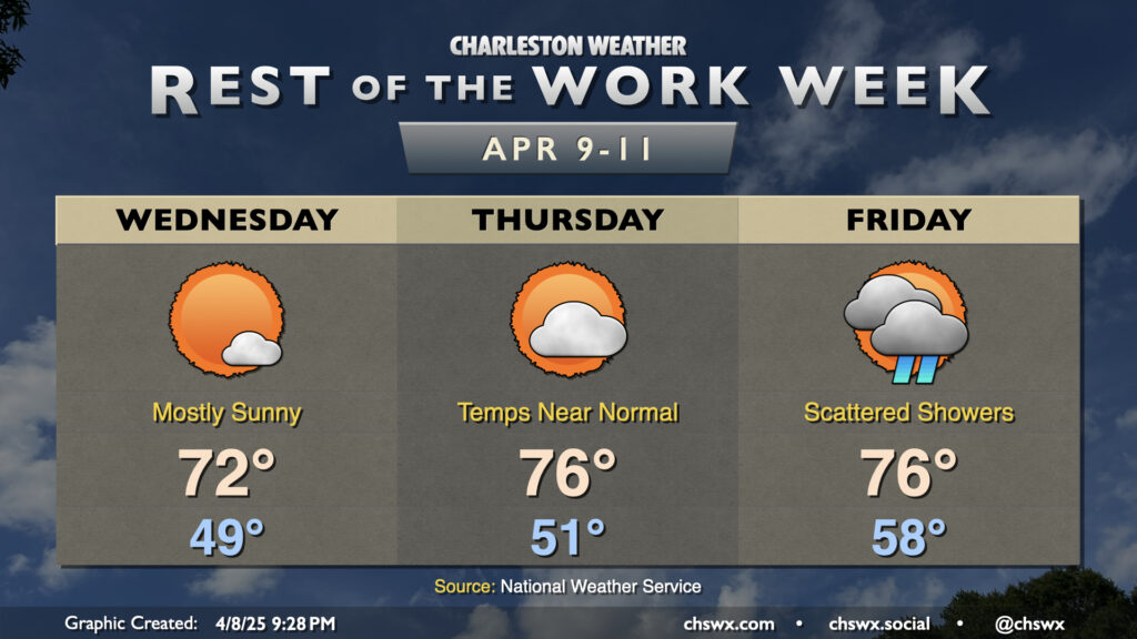
Quiet and generally pleasant weather continues for the next couple days as high pressure remains in control through Thursday ahead of the next front and accompanying rain chance Friday.
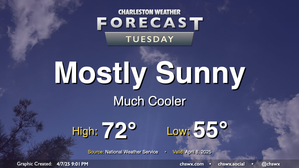
After a cold front comes through late Monday, Tuesday will turn out to be a much cooler and quieter day (weather-wise, anyway) as the front sweeps away the past week and change of more summerlike conditions. We’ll start Tuesday in the mid-50s, warming to just the low 70s in the afternoon under mostly sunny skies. It’ll feel quite different, but a bit more like early-to-mid-April, too.
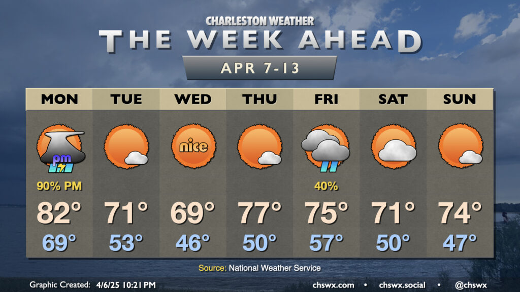
The recent late spring/early summer preview of the past week or so will come to an end on Monday as a cold front moves through the area, bringing more seasonable (if not somewhat cooler-than-normal) temperatures back to the Lowcountry for the second week of April.
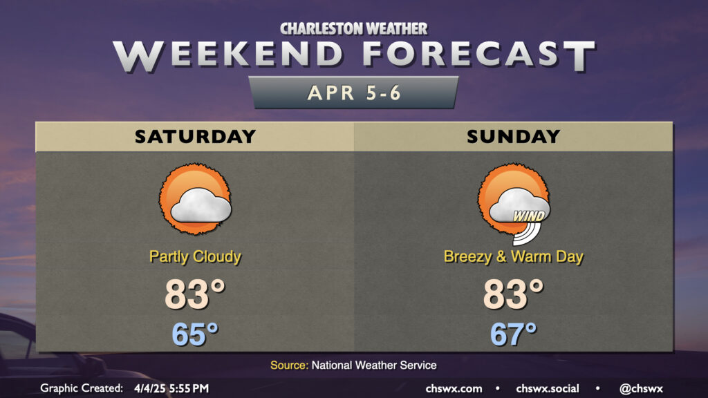
Bridge Run Weekend will remain rain-free, though much warmer-than-normal temperatures will continue. Saturday starts in the mid-60s, perhaps at least tying the record warm low temperature for April 5 (65°) before highs head to the low to mid-80s in the afternoon under generally partly cloudy skies. The seabreeze comes through later in the afternoon, undercutting any stronger warming, so the record high of 89° set in 1978 appears safe. It’ll still be a bit breezy, with winds 15-20 MPH with higher gusts at times owing to our position between high pressure over the Atlantic and a strong, stalled storm system to the west.
We will turn even breezier for Sunday as the storm system starts to dislodge and move our direction. Once again, a record warm low temperature is in striking distance (68° set in 2023) to start the day before warming back to the low to mid-80s in the afternoon before the seabreeze moves through. A solid mix of sun and clouds will give the sky some character, but we stay rain-free for one more day (though a few showers will be possible late the further inland you go).