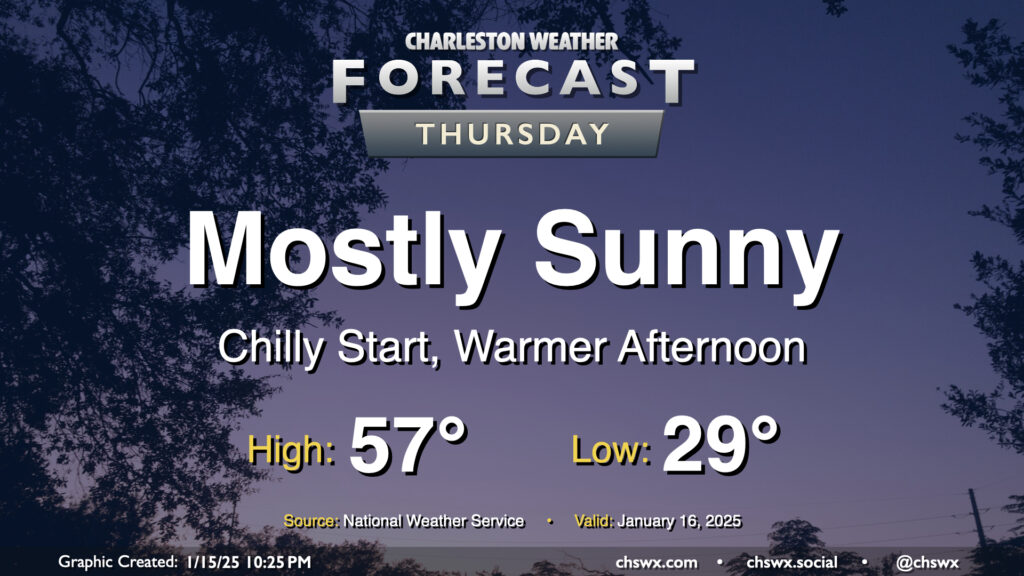
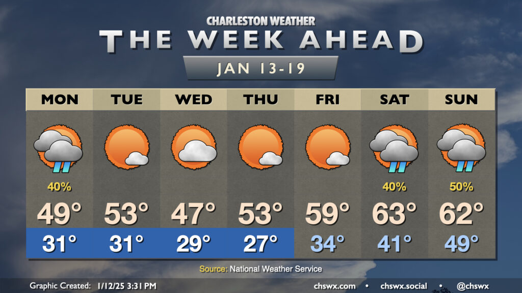
We start Thursday in the upper 20s to low 30s across the metro, but temperatures will ultimately end up a few degrees warmer than Wednesday under mostly sunny skies. This will be the second to last day of generally quiet weather before an unsettled period begins this weekend and lasts into next week, which will turn very cold and perhaps somewhat interesting winter weather-wise, too.
There’s not much to write home about weather-wise for the rest of the work week as generally quiet conditions continue through Friday before turning more unsettled over the weekend.
We start Wednesday right around freezing as a dry front comes through, which will help hold highs down to the low 50s in the afternoon despite plenty of sunshine. Winds turn a little more westerly on Thursday, and after a subfreezing start, we’ll warm to the mid-to-upper 50s in the afternoon under plenty of sunshine. We’ll keep this going for one more day on Friday, with lows right around the freezing mark and highs in the mid-50s with plenty of sun.
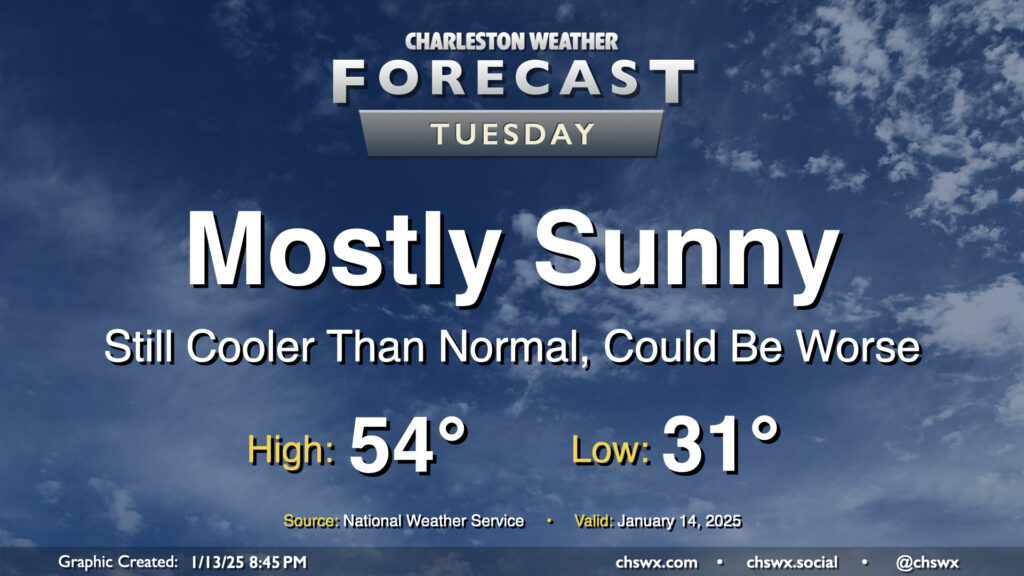
After a dreary Monday the 13th, we’ll see much more sunshine on Tuesday as high pressure rebuilds across the area. Our run of cooler-than-normal temperatures will continue, but it won’t be quite as bad; lows bottom out in the low 30s, just under freezing, and warm to the mid-50s in the afternoon. You’ll still probably need a jacket, but the bitterness of the cold will come down a notch.
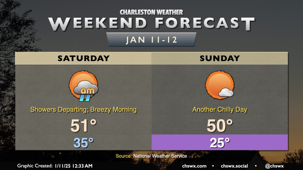
After a day in which we received a trace of snow at the airport for the first time since the January 2018 winter storm, we will dry out on Saturday with low pressure moving away from the area. We start the day with showers tapering off in the early morning; these should be gone by mid-morning, though. Lows will bottom out in the 30s overnight but we’ll be warming up as the night goes on, and we should wake up to temperatures in the 40s Saturday morning. As low pressure departs, so does the cloud cover, and we should end up with a good bit of sunshine before it’s all said and done. Expect highs to reach around 50-51° or so — you’ll definitely still want the jackets.
Sunday starts out in frigid fashion once again with lows in the mid-20s expected. Highs will only reach about 50° despite plenty of sunshine as northerly winds continue to keep the airmass a little on the chilly side. The good news is that we should be largely dried out before Sunday morning’s freeze, so I’m currently not anticipating any traffic concerns. Stay warm and enjoy the weekend!