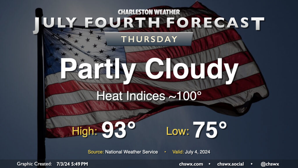
The Fourth of July should be a generally quiet weather day across the area, featuring partly cloudy skies and generally near-normal temperatures (read: still fairly hot). We start the day in the mid-70s and will warm to the low-to-mid-90s away from the coast, which looks to run more into the upper 80s to around 90°. The heat index will run around 100° as dewpoints remain a touch lower than they have been (generally low 70s). You’ll want the sunscreen with the UV index expected to run close to 10 at the height of the afternoon. Ridging aloft will keep a lid on any thunderstorm activity, removing Mother Nature’s fireworks from the equation this go-around.
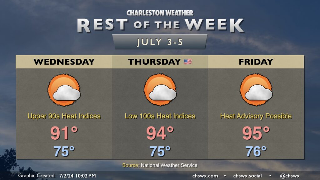
After a brief reprieve Tuesday, the heat is turning back up as we head into the Fourth and beyond. Winds stay onshore for one more day Wednesday, which will keep temperatures “only” in the upper 80s to low 90s. Mid-70s dewpoints, though, will make it feel like the upper 90s during the height of the afternoon. Ridging building in aloft will keep a lid on any shower and thunderstorm development.
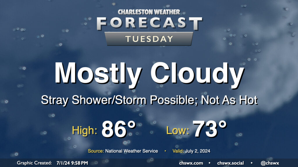
We get a brief reprieve from the heat on Tuesday as the front that brought today’s deluge nudges just south enough for a little bit of cooler and drier air to work in, especially further inland. Mostly cloudy skies will be the rule as onshore flow persists throughout the day. We start the day in the low 70s, but dewpoints sneaking briefly back into the upper 60s could feel a little bit better than we’ve felt. Those dewpoints will start to creep back up, but the cloud cover and onshore flow keeps highs capped to the mid-80s. A stray storm can’t be totally ruled out near the coast; in fact some model data suggests a few downpours will be possible before sunrise. Wait and see on that, but most of us should get Tuesday in rain-free.