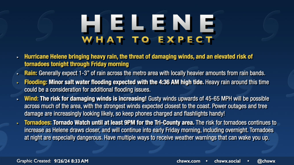
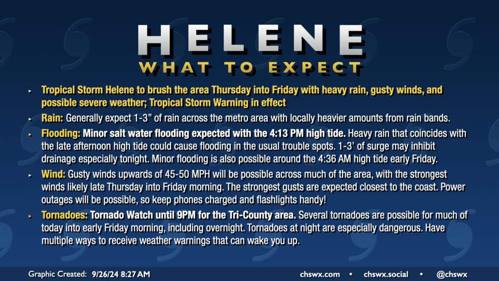
Category 4 Hurricane Helene continues to push toward a landfall in Florida this evening, intensifying rapidly as it does so. Here at home in the Lowcountry, we have been dealing with a fair bit of rain for much of the day, though the severe weather to this point has avoided the Tri-County. That may run out soon, though, as more rain bands develop and move ashore as we get into tonight and the overnight hours.
A potentially busy weather day awaits as Hurricane Helene strengthens again on approach to landfall late tonight on the Big Bend of Florida. A Tornado Watch is now in effect until at least 9PM, though I expect this to be extended overnight, as conditions continue to improve for the development of tornadoes. There has already been one tornado warning this morning in Beaufort County, likely with more to come. Tornadoes are the main concern with Helene, though heavy rain and gusty winds could still cause flooding and power outage issues.