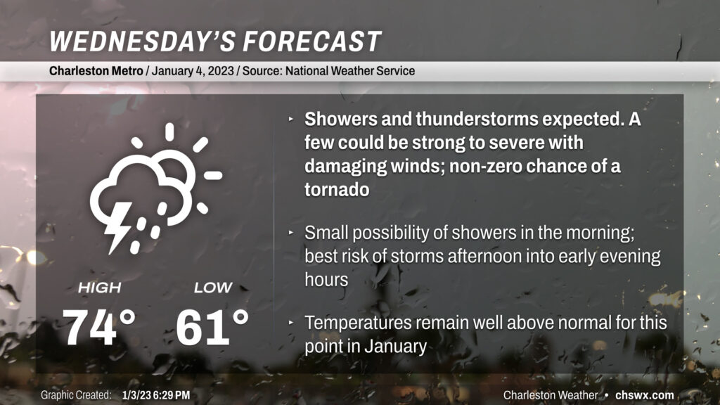
Wednesday will be another mild day, with temperatures running in the mid-70s ahead of a storm system which will turn the afternoon and evening hours unsettled with the risk of a strong storm or two.
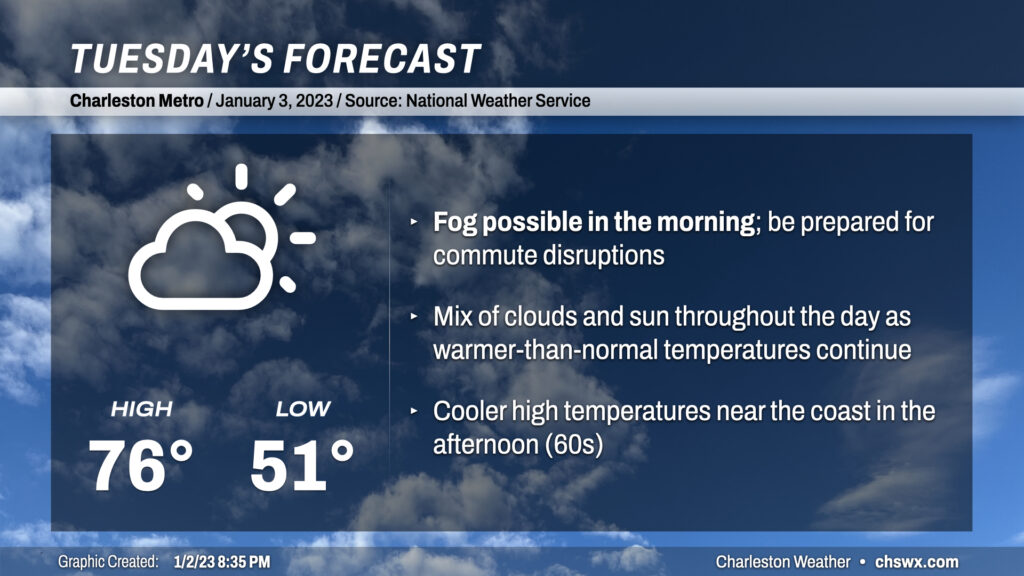
Tuesday looks to start much in the same fashion as the past few days: at a minimum, patches of fog, potentially dense with visibility below ¼ of a mile at times, should develop overnight and should persist into mid-morning. As of this writing, a Dense Fog Advisory is in effect for Charleston County and Berkeley County around Cainhoy and Daniel Island through 10am. If fog does indeed persist and even expand, you’ll want to be sure to allow extra following distance and use low beams so that other drivers can more readily see you.
Once the fog mixes out, partly cloudy to mostly sunny skies will kick back in, and temperatures should respond by heading into the mid-70s by afternoon (sticking closer to the low-to-mid-60s near the coast, though, given much cooler shelf waters). Clouds should be on the increase in the evening as our next storm system approaches from the west.