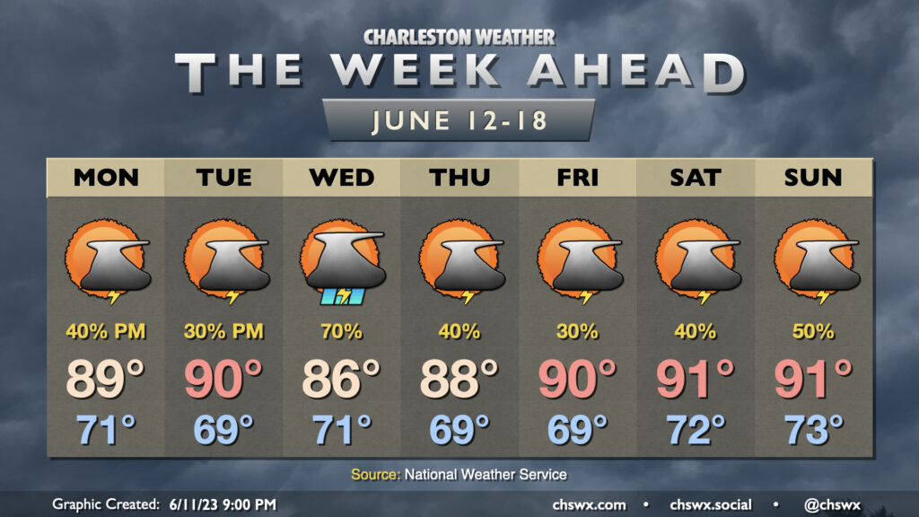
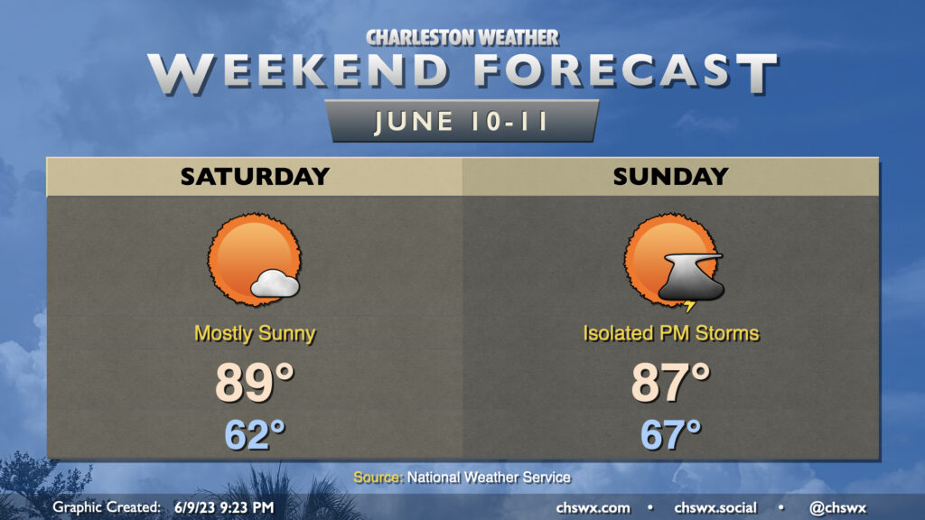
This weekend is looking mostly quiet (weather-wise, anyway). Expect standard mid-June fare across the Lowcountry with highs topping out around 90° each afternoon. Saturday will feel a little drier than we’d normally feel at this point in the year, in fact, with dewpoints mixing out to around 60° in the afternoon. We may see an isolated storm later in the evening, but the vast majority of us stay dry.
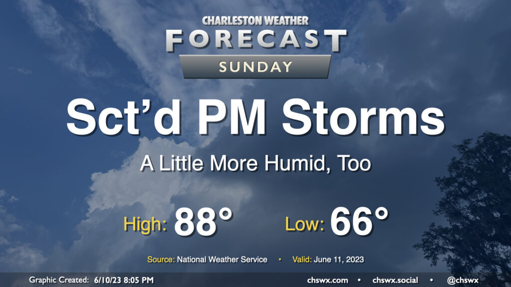
It stays mostly that way for Sunday, though we’ll feel a little more in the way of humidity with winds turning more onshore. Once again, a stray afternoon storm is possible, but overall we look to get much of the day in rain-free. Expect highs to once again top out around 90°, with heat indices in the low 90s.
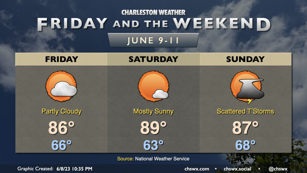
A stretch of quieter weather begins Friday and lasts through the weekend, in what is a bit of a role reversal for 2023. A few showers could be around the area Friday morning, but those will get out of here by mid-morning and we should stay largely quiet for the rest of the day. Highs head to around 90° in the afternoon under partly cloudy skies.
Saturday and Sunday will both be pretty solid mid-June days: we’ll start each day in the low 70s and top out in the low 90s each afternoon under partly cloudy to mostly sunny skies. A stray shower or storm may be possible well inland — one can never totally rule that out especially with a trough still hanging around — but otherwise, it’s looking good, and I hope you can take advantage.
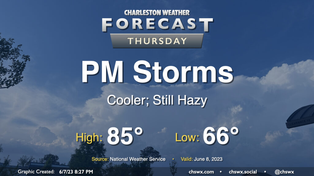
Another round of scattered to numerous showers and thunderstorms is expected Thursday, particularly in the afternoon and evening as daytime heating and some upper-air help kicks in, though a shower or storm will be possible for much of the day. Before storms fire, expect to start the day in the upper 60s, warming to the mid-80s under a mix of sun and clouds. Dewpoints around 70° will yield heat indices around 90°.
The risk for severe weather is looking a little lower than it did on Wednesday, with the best risk displaced to the south, but a storm with a damaging wind gust or two and some hail can’t totally be ruled out.
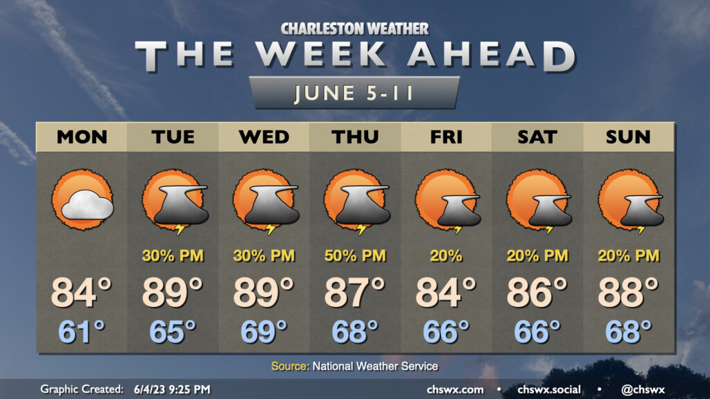
After a brief reprieve Tuesday, storms look to return to the forecast on Wednesday as more upper-level energy moves across the area. We start the day in the low 70s before highs top out in the upper 80s in the afternoon under a mix of sun and clouds before showers and storms become more likely heading into the evening hours.
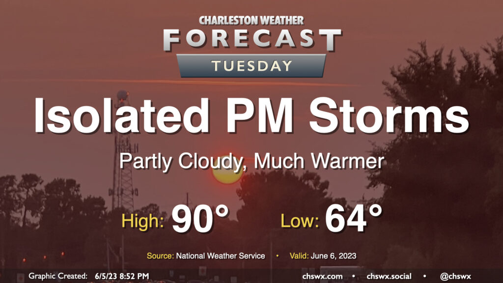
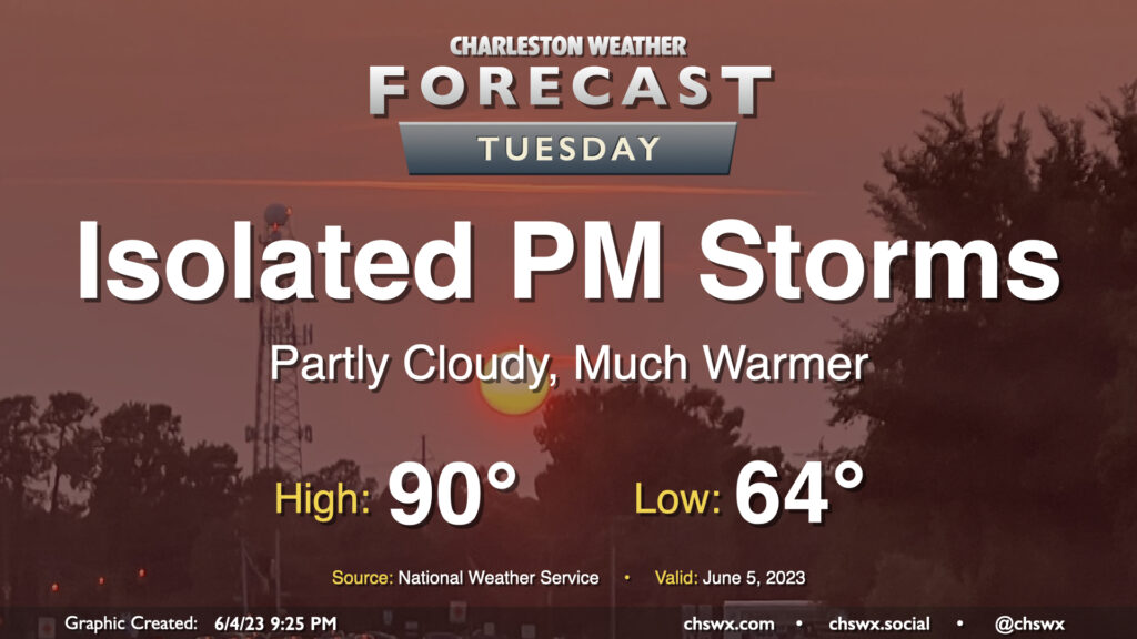
More showers and thunderstorms are in the forecast for Tuesday afternoon and evening as a stalled front hangs around the area. First, though, we’ll start the day in fine June fashion with lows around 70° in the morning. Temperatures should head to about 90° in the afternoon before thunderstorms fire. Dewpoints in the mid-60s should yield heat indices around 92° — nothing totally out of hand for this point in the year, but certainly steamy.
Warm and unsettled weather will be the rule for much of the week ahead as a trough of low pressure aloft hangs around for much of the week, driving a front close to the area before it stalls out and meanders before washing out over the weekend.
I hope y’all enjoyed the relative dearth of humidity on Saturday — it was a rare June day in the Lowcountry where the heat index was cooler than the air temperature — because humidity will return to the area during the day Sunday as a warm front lifts north of the area. We start the day in the mid-60s before warming into the upper 80s; dewpoints heading back into the upper 60s will make it feel more like the low 90s at the height of the heat of the day. From there, we should start to see scattered showers and thunderstorms develop and move eastward across the area. Instability and shear aren’t super-great, so the risk for any severe storms looks limited — but remember, all thunderstorms are dangerous because of the lightning they produce. Regardless, it doesn’t look to rain all day at any one location — as always, just make sure you have an indoor backup plan for outdoor activities.
We’ve got a pretty decent weekend of weather ahead, though we may see a few storms Sunday afternoon and evening as a front moves back north through the area. Saturday looks like a great summer day, though — we start the day in the low 60s, which is a few degrees below normal for June 10. Highs then head up to around 90° in the afternoon, and with unseasonably low dewpoints, humidity won’t play quite the role we’re used to it playing in June. I suspect that you may want to get to the beaches a little early to avoid traffic.
Sunday starts a little warmer as temperatures start in the mid-60s, still a tad below normal for June 11. Clouds will be on the increase throughout the day, and we’ll be watching a warm front as it moves back north through the area for the potential to kick off some isolated to scattered showers and thunderstorms, generally in the afternoon and evening hours. Highs top out in the mid-to-upper 80s, and with dewpoints about 10° warmer, it’ll be a little more humid, too. Overall, though, still not too shabby.
Looking for the 90s? They’ll be back starting Monday, and look to last for much of next week — but let’s enjoy the weekend first.
Quieter weather continues as we head into Friday and Saturday, with the risk for thunderstorms returning Sunday afternoon and evening as another front gets close to the area.
Our string of stormy afternoons looks to continue on Thursday as a cold front slowly moves through the area. Showers could fire as early as mid-morning, but the better chance of thunderstorms arrives in the afternoon and evening hours as we get some daytime heating in place. Much like the past two days, a few storms could produce gusty winds and hail, so be on the lookout for quickly changing weather conditions and be ready to move indoors quickly if storms approach.
With the front in the area, highs will top out somewhat lower than Wednesday’s 92° — expect generally mid-80s across the region before thunderstorms fire in the afternoon. We could run a little warmer — or cooler — depending on how fast the front gets south of here. (That could also modulate our thunderstorm chances a bit, too.)
Finally, there are no air quality concerns with the ongoing wildfire smoke that is being transported south into the eastern United States from Quebec, though we will continue to see a milky haze in the sky, which should persist into the weekend.