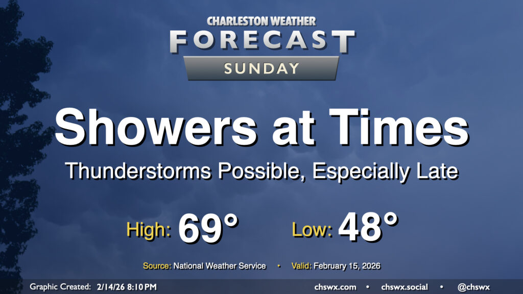
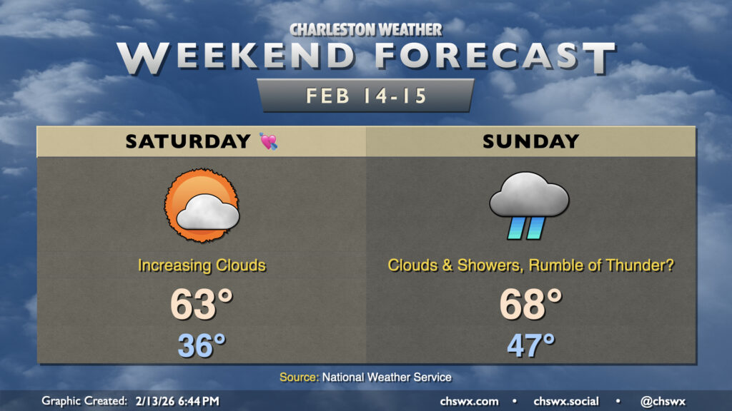
A storm system will affect the area on Sunday, bringing us some showers at times and maybe even a few thunderstorms as we get into the afternoon and evening hours. We need the rain as moderate drought continues to envelop the area, and a half-inch to even an inch of rain will be possible. While that won’t put an end to the drought by any stretch, it will certainly help.
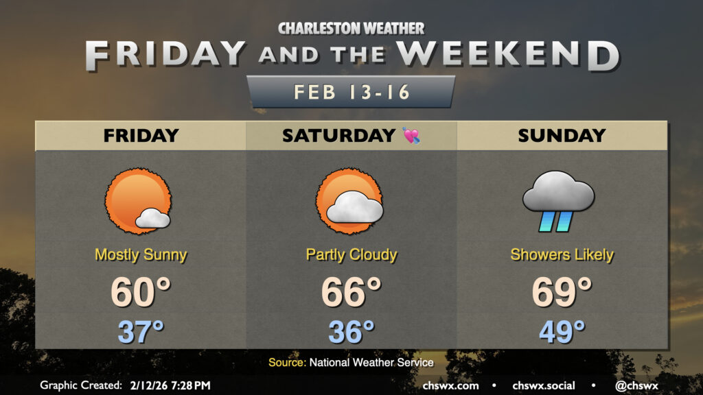
While Valentine’s Day looks lovely, Sunday will decidedly not live up to its name as a storm system affects the area. From there, quite a warming trend develops, especially for the second half of next week.
Another quiet and generally seasonably pleasant day is head on Friday. We get off to a bit of a chilly start as lows fall to the mid-to-upper 30s in the morning. A northeasterly breeze will make it feel closer to freezing to start the day, but temperatures will warm to around 60° in the afternoon under predominantly sunny skies. This is a few degrees below mid-February norms, but nothing too outrageous.
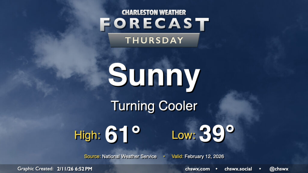
After a front gets through overnight, we’ll turn cooler for Thursday as temperatures head ever-so-slightly below normal. We’ll start Thursday in the upper 30s to around 40°, warming to the low 60s in the afternoon under predominantly sunny skies. While not quite the 70s, it’ll still be a solid mid-February day in the Lowcountry.