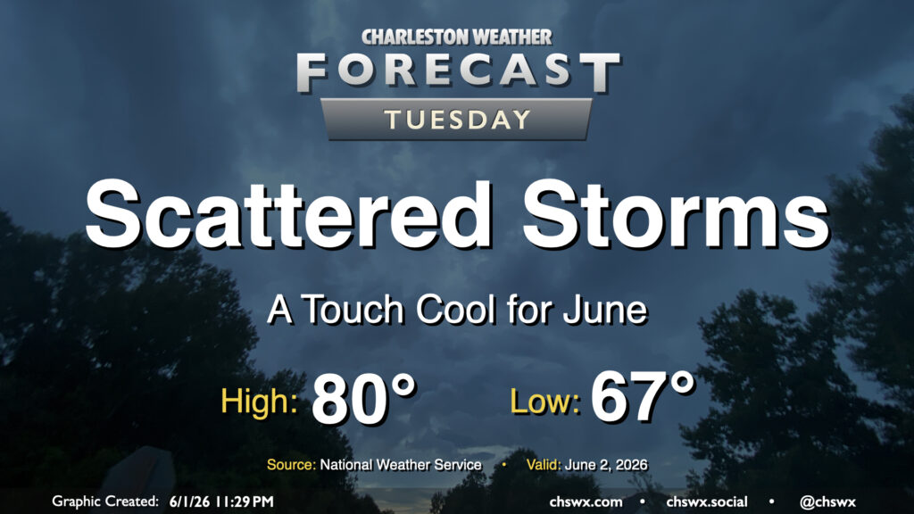
Rest of the work week: Plenty of sunshine, turning warmer
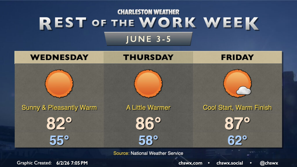
Rain is done for a few days as dry high pressure builds down into the area, bringing about comfortable warmth as we get down the home stretch of the work week. It won’t feel like June on Wednesday as temperatures bottom out into the mid-50s away from the locally warmer coastline. Expect highs to peak in the low 80s in the afternoon with nearly unfettered sunshine as deep dry air sets in. Savor the low humidity because we don’t have too many more days like this left for a while!
If the beach is in your plans, be aware of a high risk of rip currents during the day Wednesday due to the ongoing northeast flow. It’s best to stay out of the water on days like this
Read more »