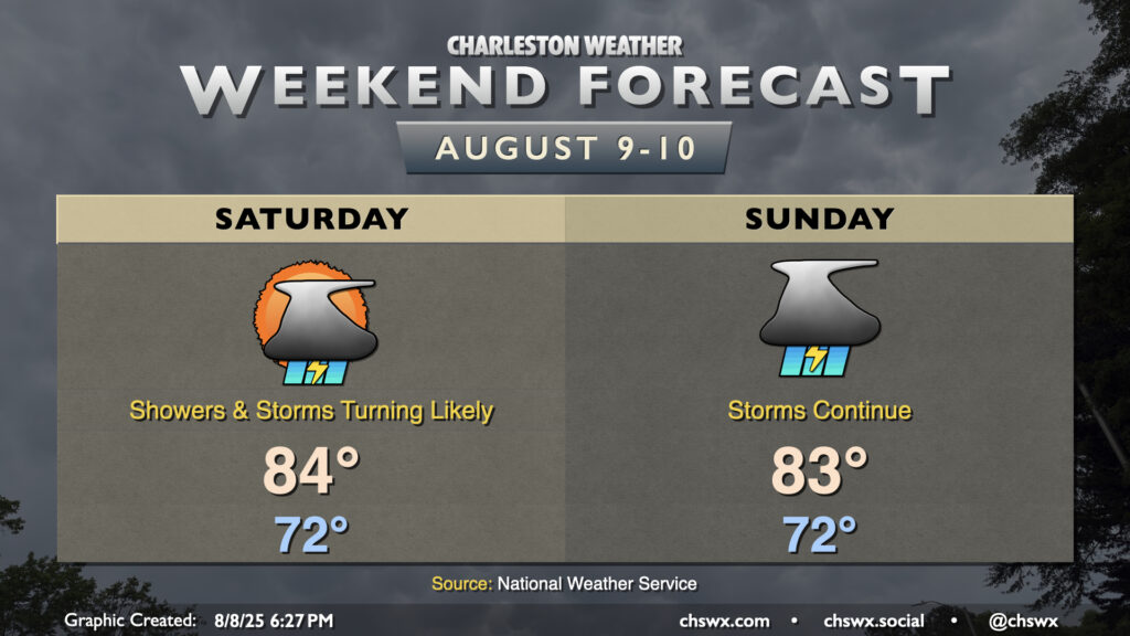
Cooler-than-normal temperatures continue this weekend, but the cost is continued rounds of showers and thunderstorms as moisture overruns a stationary front to the south and a trough of low pressure develops aloft.
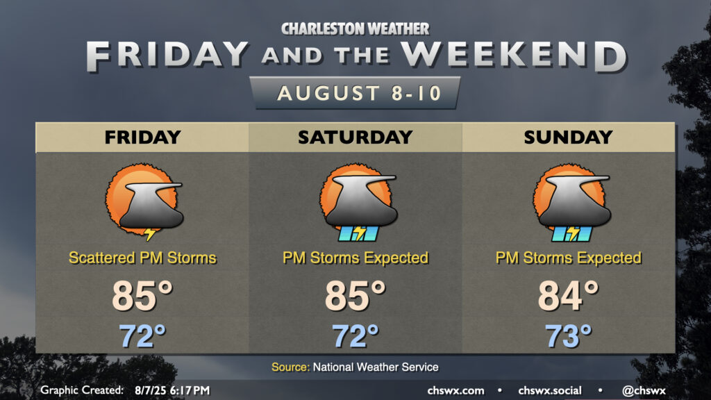
After an unusually cool and cloudy early-August day across the Lowcountry, in which highs largely did not breach 80° (good for a new record cool high temperature at North Charleston, breaking the record of 80° set just last year), we should see a bit more warmer air tomorrow as the high pressure wedge which reasserted itself today weakens a bit toward the coast. This will allow the seabreeze to get going a bit more, setting us up for an afternoon of scattered storms, with the best risk of precipitation generally east of 17-A. Lows in the low 70s will warm to the mid-80s in the afternoon — still several degrees below normal for this point in August — but it’ll still be somewhat muggy.
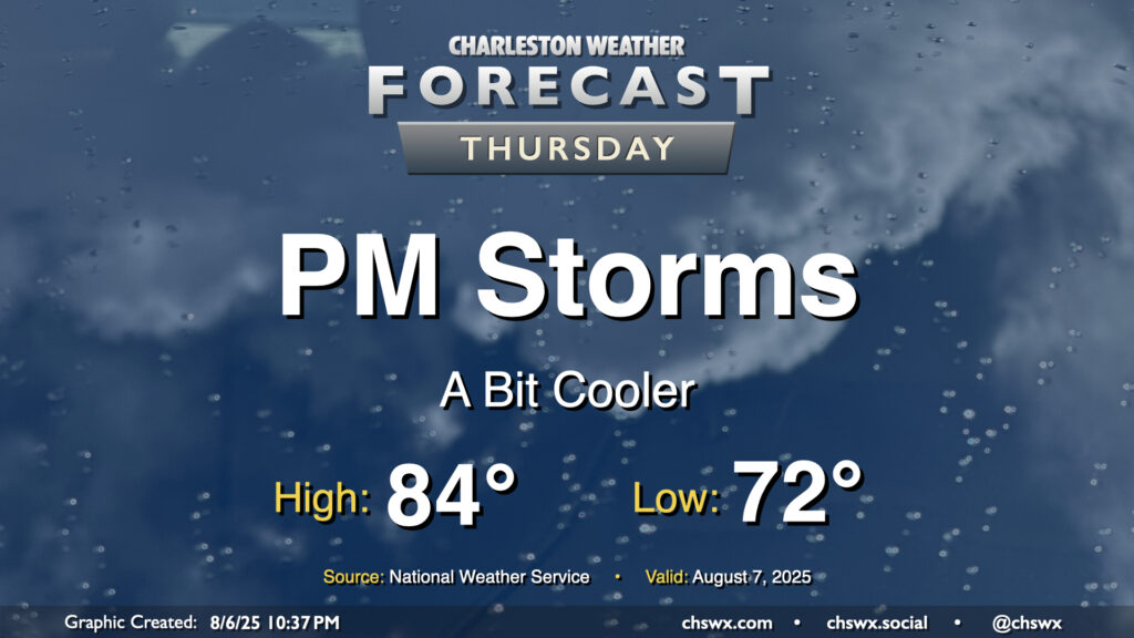
With the stalled front back offshore, northeasterly winds will be back in play and turning temperatures down a bit once again starting Thursday. Expect lows in the low 70s to start the day with some broken clouds and some sunshine as well. We should see showers and storms kick off with the seabreeze in the afternoon, though, which could pack some heavy downpours as deep moisture remains in place. These storms will follow the surface northeasterly winds down the coast. Be ready for periods of heavy rain and perhaps the risk for some flooding in a few spots as well.
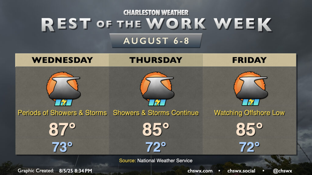
The rest of the work week will remain unsettled as the frontal zone that’s been hanging around for several days begins to trek back toward the coast, cooling us back off a little bit but keeping showers and thunderstorms in the forecast.