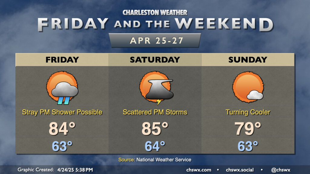
Weekend forecast: Stormy Saturday, quieter Sunday
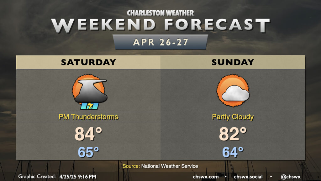
A front slowly approaches the area during the day Saturday, and ahead of it we’ll see scattered showers and thunderstorms begin to develop during the afternoon as the inland-moving seabreeze combines with some mid-level energy aloft. Some brief heavy rain is possible but shouldn’t ultimately amount to a ton of rain in any one location. Temperatures will continue to run above normal for late April; expect lows in the mid-60s to warm to the mid-80s in the afternoon before storms kick in.
The front gets by on Sunday, and winds shift a little more northeasterly as a result. We’ll start in the mid-60s once again, but temperatures should peak a touch cooler than they did on Saturday, with highs in the low 80s under partly cloudy to mostly sunny skies. Quiet weather continues for a few more days, with temperatures warming back into the mid-to-upper 80s by the middle of next week.